After hiking up Mt. McPherson, I went 7 miles up the road to hike the Long Ridge.  There was still light out, but not for long!

Long Ridge, CA

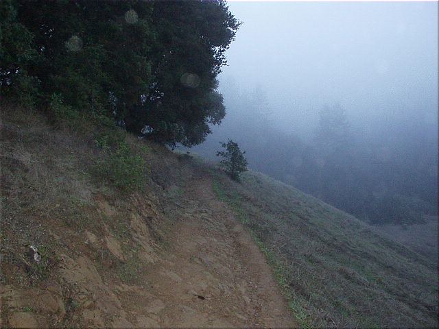
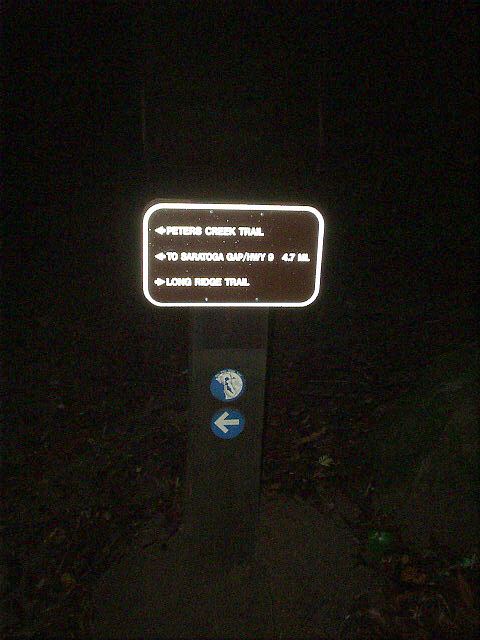
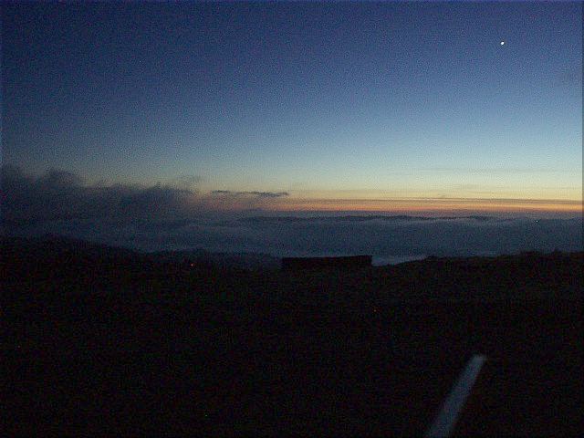
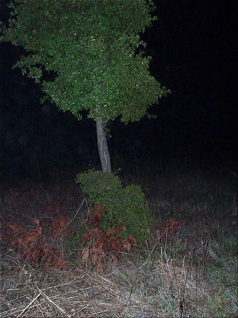
Hiking the Long Ridge, the highest point in San Mateo County, CA. This was done in conjunction with Mt. McPherson (the highest point in Santa Cruz County) and was done to celebrate the Winter Solstice.

After hiking up Mt. McPherson, I went 7 miles up the road to hike the Long Ridge.  There was still light out, but not for long!
After hiking up Mt. McPherson, I went 7 miles up the road to hike the Long Ridge. There was still light out, but not for long!
Going up the trail as the fog lingered ahead.
This is how a trail marker looks in pure darkness!
Just 250 yards from the summit was a lookout flat, in which there were some nice views of the bay and a dimming sky.  This was still on public land.
Just 250 yards from the summit was a lookout flat, in which there were some nice views of the bay and a dimming sky. This was still on public land.
The summit, in contrast, was on private property, marked by this little oak tree.  Don't ask me how I got this picture, as I do not condone trespassing and BREAKING THE LAW!
The summit, in contrast, was on private property, marked by this little oak tree. Don't ask me how I got this picture, as I do not condone trespassing and BREAKING THE LAW!