Rose Peak-Murietta Falls, CA
I have always wanted to do a foul-weather backpacking trip. Call me a masochist, but there has always been something attractive about wending through unfamiliar territory under a blanket of iron-gray clouds producing a steady splatter of ice-cold rain. On one hand it imparts a sense of urgency, of adventure; on the other, a feeling of being free, a oneness with the Mother Earth. For certain, a good rain has the effect of washing away the more mundane stresses of work, of deadlines, of obligations; life then becomes reduced (or rather, uplifted) to simpler concerns, mainly of staying warm, comfortable, and happy, if inevitably not completely dry.
But I digress. On hand was the task of finding both the time and place to partake such an adventure. Despite the wetter-and-colder-than-normal winter here in California, this turned out to be not a trivial task. My first attempt was during my company’s winter break, in which I made a 6+ hour driving excursion up to Humboldt County, in search of redwoods, bears, and monsoon-like weather. Alas, the day I arrived the torrential rain which had battered the area for *4 consecutive weeks* turned dry, and yet, coastal conditions remained dangerous. Too dangerous, according to the Bureau of Land Management up there. Taking their advice, I ended up doing a driving tour of the area instead of a backpacking trip.
Another chance presented itself a few weeks later a little closer to home, however: right in Sunol, just 15 minutes away from Fremont. The local paper proclaimed frigid wet weather for the upcoming weekend.
“There might even be snow up there,” I cheerfully exclaimed to Sarah, my good friend and hiking partner for the weekend. She, a person who obviously must be at least a little crazy like myself, also seemed to welcome that notion. In any case, she was definitely not going to be deterred by anything the weather could possibly blast at us. The trip was on.
The Course
Starting from the Sunol staging area, where we’d get our $2 permits (good for one-year, and is actually just a very decent trail map), we’d follow the Ohlone Wilderness Regional Trail towards Del Valle in Livermore. Ascending numerous hills that eventually lead to Rose Peak, the highest point in Alameda County (at 3,817 feet) that’s legally accessible, we’d only diverge from the trail half a mile from Stewart’s Camp, where I had reserved a campsite. Half a mile from Stewart’s Camp is Murietta Falls, the highest (though certainly not the tallest—that would be Berry Creek Falls in Big Basin) falls in the Bay Area. We’d visit that too, which marked the turn-around point. From the Sunol staging area to Murietta Falls is just over 14 miles; with a few detours and “extra-credit” miles (like to the top of Rose Peak), the round-trip adventure would be about 30 miles. Regardless of the distance, all related literature described the trail as “strenuous”. To those who have witnessed me doing short day-hikes up local mountains with 40+ lbs. of iron weights on my back, such “strenuous” trips is what I have been training for all of this time.
Preparation
Unlike in China Camp, where Sarah and I had camped in near- luxury (everything is relative) with boiling water, hot and spiced lentils, and noodly pasta, this time we agreed beforehand that we would do not do any cooking when we got to camp. The rationale: it would be cold, it would be wet, and there was no way we’d want to be exposed to those conditions while we were not moving. (In other words, I definitely wanted to experience such conditions, but while staying warm and comfortable—something not likely to happen while we were just standing around a stove waiting for it to heat up some water.) Instead, we’d want to pitch our tent and crawl into our sleeping bags as soon as we got to camp, and eat ready-made food from there.
In accordance with this agreement, I left my trusty Nesbit stove at home. Also in the spirit of such minimalism, I attempted to bring as few items as possible to keep the overall backpacking weight down. Whatever was not likely to be used would not be brought (aside from first aid and the like). So despite the foul weather forecast I did not pack much more than Gore-Tex gloves, a fleece hat, a (sleeveless, no less) fleece jacket I first used in the 2000 Death Valley Double, a lightweight one-ply waterproof jacket, a set of long thermal underwear, and socks socks socks. Well only two extra pair of socks. My one “luxury” item was a pair of Gore-Tex oversocks—just in case. But more on that later.
I also only packed about 50 oz. (or just over 3 pounds) of water, knowing that there would be water supplies along the way. Despite the water coming from faucets and water pipes, a filter was a necessity in this cattle-laden area. I did not skimp out on food, however, knowing that it would get consumed and my pack would get lighter as the day went on by.
The clothing I’d wear during most of the trip was very, very basic. This included my recumbent cycling jersey (great because it has a front-opening zipper spanning its entire length, plus side pockets), removable polypropylene arm warmers (also used for cycling), “short” thermal underwear, basic nylon rain pants with a polyester lining, two pairs of nylon socks, and running shoes. The latter was something of an experiment. I have always preferred using running shoes instead of hiking or mountaineering boots in all but the most technical terrain due to their vastly lighter weight and immensely greater comfort and flexibility, but have never tried them in the wet. However, I suspected that they’d actually dry out a lot faster (when the weather turned dry), and their weight advantage over hiking boots would be even greater in wet weather because they’d absorb less water and trap a lot less mud. I figured that out in the weather the forecasters were predicting, my feet would get wet in any case, so rather than try to fight it, just deal with it. I had packed the Gore-Tex oversocks just in case my “theory” turned out to be wrong.
Another experiment to be tried on the trip: using an umbrella. I had first thought of the idea while walking the streets of London with my then-girlfriend during a particularly wet week (even for England). It was just her and I, going hand-in-hand, with my umbrella up above the two of us, keeping us dry. It was one of the most pleasant (and romantic) experiences in walking in the rain. So why not do it while hiking? The great Ray Jardine in his excellent book, “The Pacific Crest Handbook” even advocates it instead of wearing a rain jacket in which one would get wet anyhow (either from rain leaking past seams or from one’s own perspiration that could not escape from the “water breathable” fabric), and was hence something I wanted to give a shot.
Before leaving the house I had weighed all my gear. Total pack weight + fanny pack (which I carried my map, compass, camera, and snacks in): just under 30 lbs. Not ultralight, but not bad. Actually, it felt extremely light compared to the 45 lbs. or so I was used to on my training hikes. And I knew that by the time I returned the total pack weight would be closer to 23 lbs. or so.
The Hike: Day 1
Sarah came into Fremont in the morning and we were on the trail by 10:45 a.m. or so. Already by that time it had rained for about 10 hours and was showing no signs of letting up.
The start was not very ominous: instead of thinking about where to go, we played catchup on each of our lives and started going off the wrong direction. Then we had to go up an extremely steep hill that was not on the trail that within the first 10 minutes of the hike had already gotten Sarah quite muddy.
Also not portentious: after the first 15 minutes or so I had taken off my black polypropylene arm warmers as I was getting quite warm. Well, some time soon afterwards I unknowingly dropped and lost one of them. So there I was out there wearing just ONE layer—my short-sleeved cycling jersey, no less—but really, I was still quite warm and very comfortable at this point.
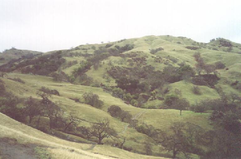
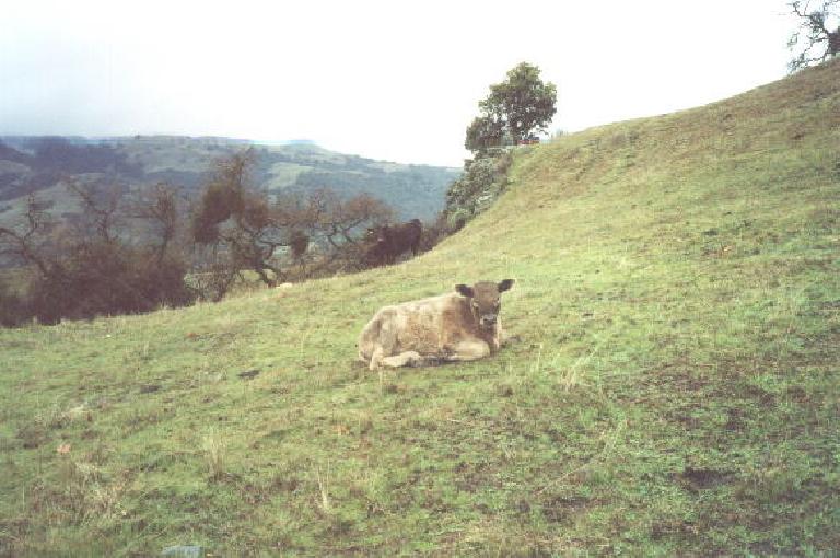
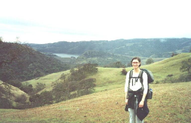
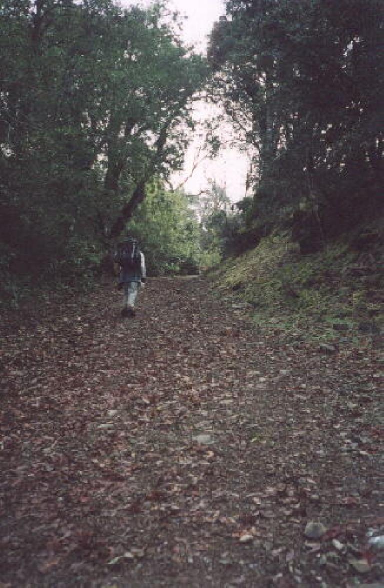
During the first couple of miles of the hike we passed through territory that was familiar to me, since I had just hiked it with Tori in the month of December. Lots of open rolling prairies, with an occasional creek or two, with lots of cows. The clear, blue Calaveras reservoir to the south was also very familiar: I have cycled by it many times on one of my favorite training rides in the East Bay. Due to the persistent rain that had bestowed California for weeks, the hillsides were also verdant instead of their usual summer yellow and brown.
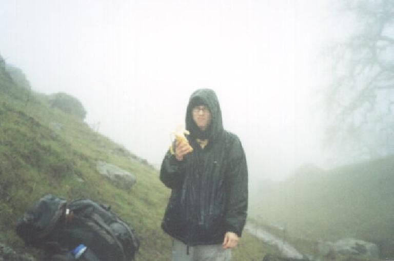
The first couple of hours went by quickly as we chatted quite a bit, with Sarah occasionally teasing me about my bright red umbrella. Okay, so it looked funny out there in the wilderness but it was keeping me both warm and dry even despite my one layer of clothing and temperatures in the 40s. (In contrast, Sarah was wearing SIX layers). Besides keeping the rain away from my clothes it also served as a decent shield from the wind as long as I kept it pointed in the direction the wind was coming from. There was only one particularly windy (say, 30 mph winds) section in which my umbrella “flipped”, and that happened only when I did not orient the umbrella in an optimal (windward-facing) position.
The first time I would start to get a little chilly: when we stopped for lunch at Mile 5. We selected a spot that was strategically sheltered from the wind but I need to put on my rain jacket, fleece hat and gloves here. One of the things Sarah was amused by was the sight of me trying to open packages up (say, granola bar wrappers) with my thick gloves on. “Good training,” I’d say. “Good training” soon became the reason for everything I did and an ongoing joke. We spent about 20 minutes for lunch after which we resolved not to stop as frequently as we had been so that we don’t cool down so quickly.
Somewhere on the way we were passed by five runners going the other direction: four women and a guy trailing them. “Are you with a club?” I inquire. “No, we are just doing a run from Del Valle to Sunol.” That is about 20 miles. Even if it was on a better day, that was inspiring.
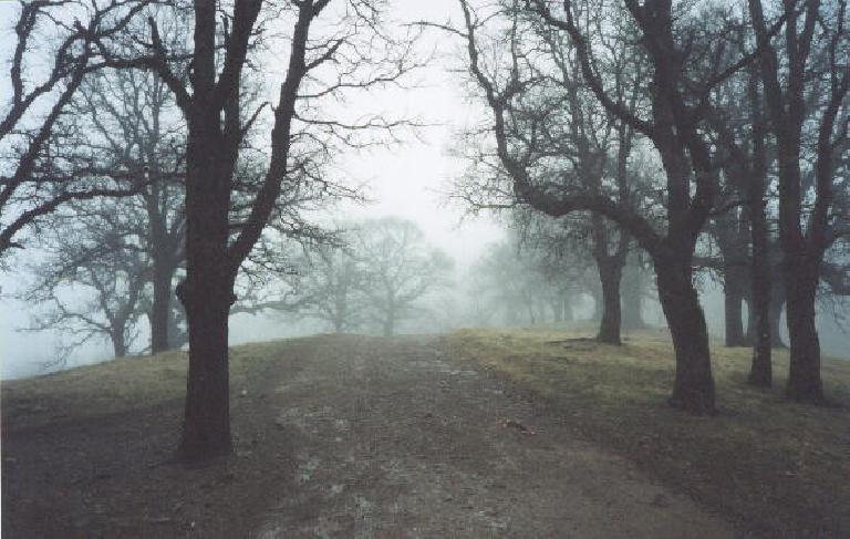
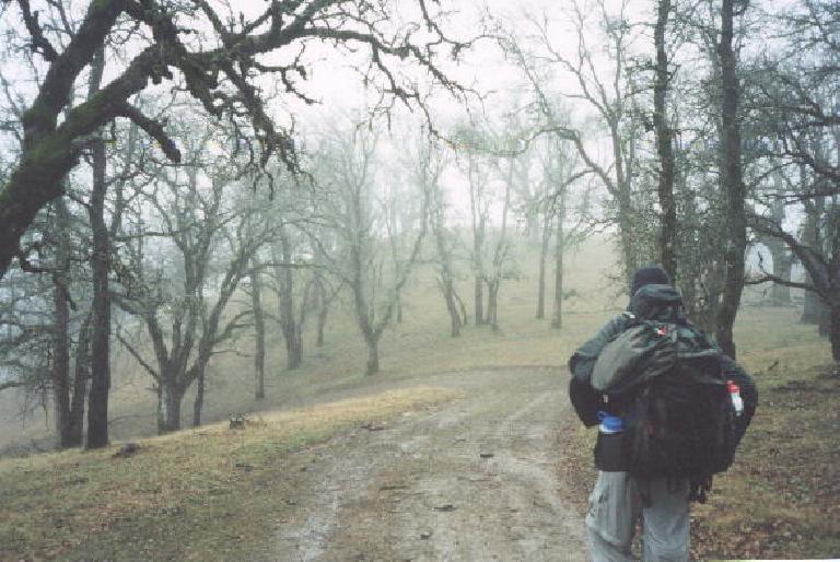
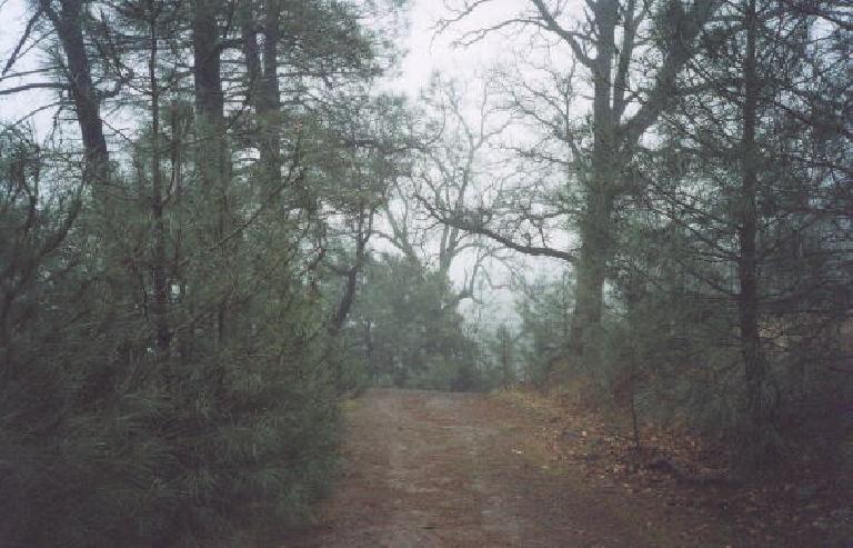
Onward ho: the higher we ascended and the farther we traveled, the less the visibility. It soon became apparent that we were ascending INTO a rain cloud instead of merely walking under one. This was so great!
Ten miles into the hike: Rose Peak. Woohoo, another California county summit achieved. Well, almost. We actually saved the actual ascent of Rose Peak for the next morning. And technically it’s not the highest point in Alameda County—Discovery Peak, which is maybe about 25 feet higher and was only discovered in the early 90’s, actually is—but it’s the highest point on public land that’s accessible to the public, and hence is generally regarded as the summit.
Past Rose Peak: the open prairies dotted by oaks (many of which had been affected by Sudden Oak Death disease, no doubt) had given way to scenery more densely populated by conifers and pines. Sarah and I would agree that this was the prettiest and most pleasant part of the hike, even though it turned out to be the coldest at below 40 degrees. In fact maybe about two miles from camp even I was starting to get a little chilly with my one layer on.
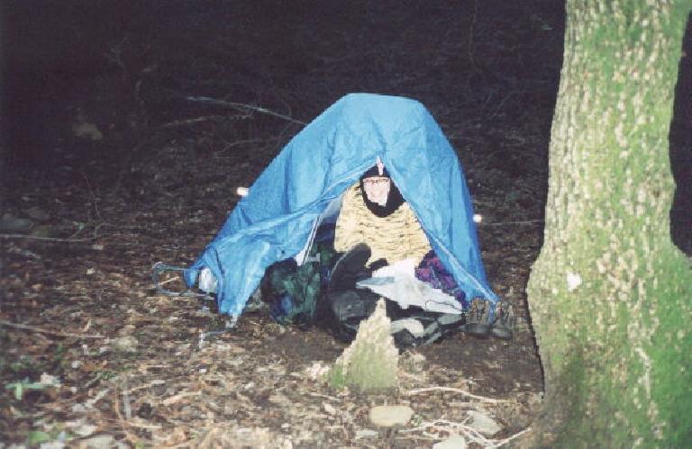
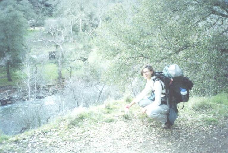
Approaching sundown: we find Stewart’s Camp. There was running water and a port-a-potty, and we filtered some water before the sun was totally down. We picked a spot that is slightly uphill and has some leaves on the ground (for insulation, especially since I was sleeping without my sleeping pad as I was letting Sarah use mine) to pitch my ever-trusty Sierra Designs Clip Flashlight tent.
It was after we had done so that I unpacked by sleeping bag and realized I had made a grave error: I opted not to use (or even bring) my raincover for my pack (putting it on and keeping it on is something of a nuisance, as I learned in both Point Reyes and in Pennsylvania’s Ohiopyle State Park. Hence my pack got very wet (expected) and my sleeping bag in its stuff sack (not expected). I did not expect my $225 Gregory Forester pack to be entirely waterproof, but I never imagined my sleeping bag would be soaked. I tried using some tissue to dry out the bag the best I could, to not much avail, and hence was really thanking myself for having a synthetic-filled sleeping bag instead of down. Reputedly down sleeping bags are useless while wet, while at least with a synthetic one, there is still some margin for staying warm. Just how warm I’d be remained a good question for the night.
The Night
Snuggled in our sleeping bags, including Sarah’s very nice purple 0-degree Sierra Design mummy bag she got the week before the trip, we actually both stayed cozy and comfy in the confines of my two-person tent. By this time, outside the tent was 37 degrees; inside was 47. It’s amazing how much two people can warm up a tent.
We shared some food and she read a little bit while I opted just to take some Sudafed (for a nagging sinus infection that had been lingering for awhile) and go to sleep. No one else was around. Peaceful for sure.
Until the middle of the night. Outside were some animals howling very loudly. It sounded like some coyotes in heat or something. It woke both of us up which was just as well as I needed to go to the bathroom. As it was still 1:00 a.m. I was getting out of the tent to go regardless of the fact that it was still drizzling just a little.
The rest of the night we both slept very soundly and adequately warm enough despite the amazing amount of condensation I’ve ever seen on the inside of my tent. By the morning we had awoken to something of a surprise: sun. There were very few clouds in sight.
Another surprise: our shoes. Both pairs of our shoes were damp the evening before from the rain, but in the morning, they were stiff but seemingly dry. “Cool, freeze-dried shoes,” I exclaimed. And they weren’t nearly as cold as I thought they’d be. Good thing because there was still a lot of hiking to be done on this day
Day 2
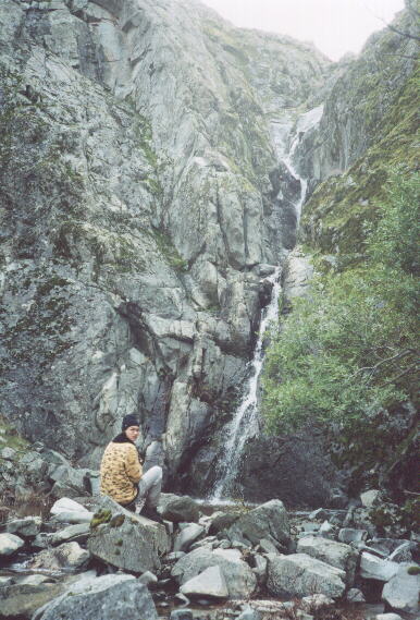
First on the agenda was finding Murietta Falls. This was not as easy as I thought it would be. We headed off in its general direction only to completely bypass an unmarked trail to it. Here we added on about one mile and some steep climbs. But we’d eventually find it and gosh was it worth it.
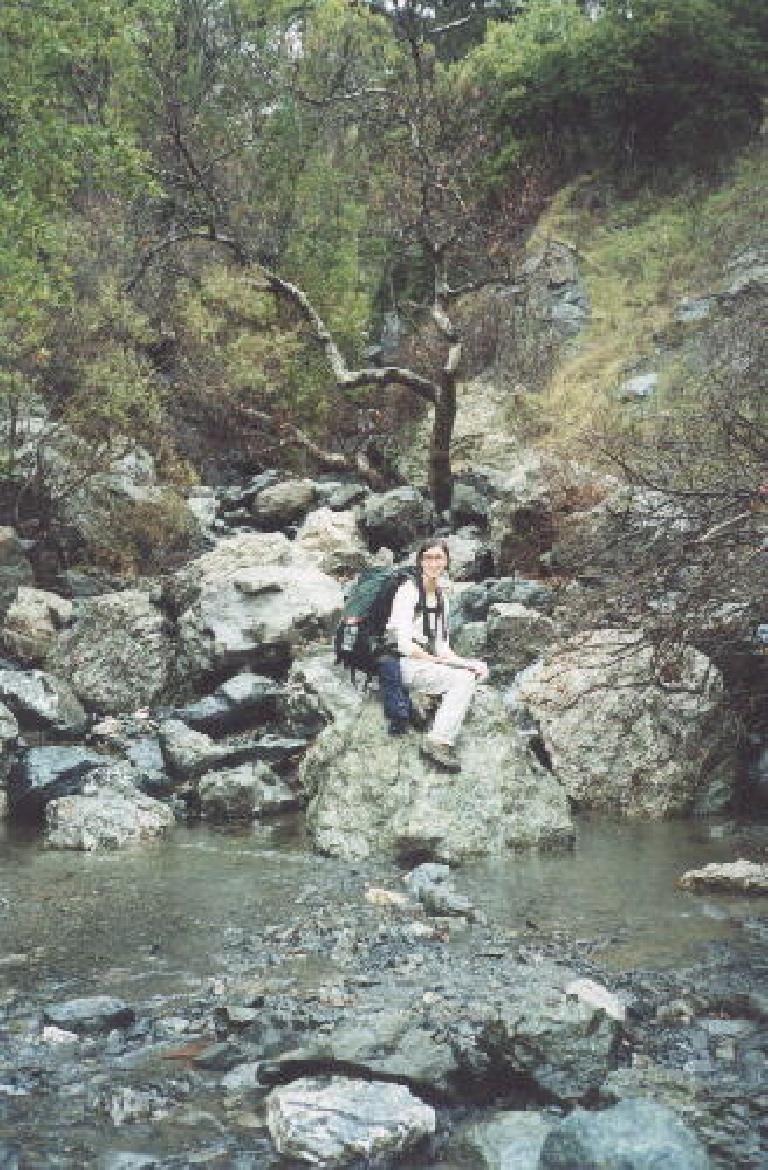
Words and the pictures here cannot adequately describe it. There was plenty of water gushing from it at this time of year. It is neither super tall or unusual, but being so isolated from civilization meant that we had this waterfall entirely to ourselves. At least for the 30 minutes or so we stuck around. This marked the official halfway point of our trip as from there we’d go the same way we came from.
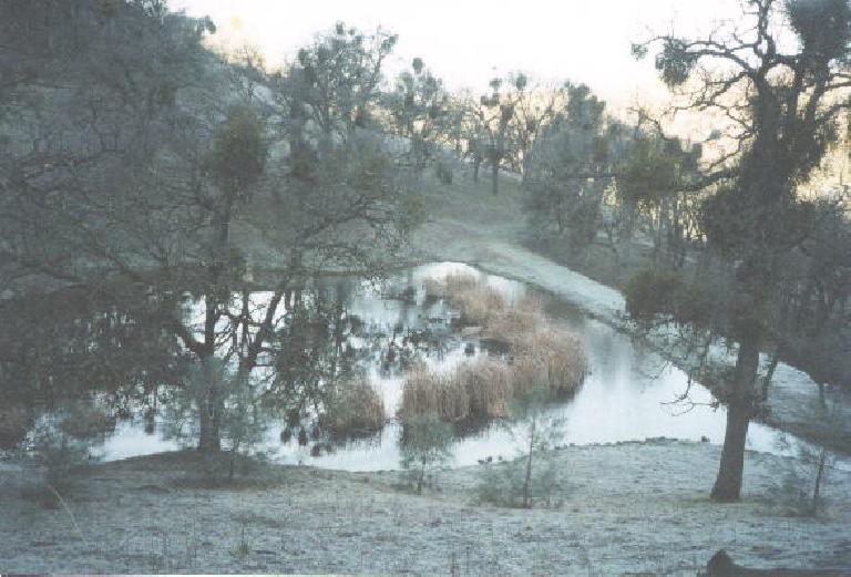
On passing back through Steward’s Camp we tried the water tap but unlike the night before it was frozen. Whoops, we should have filtered as much water as we could have stored the previous night, but did not think of this. No biggee, however, as there were other sources on the way back.
For a trip back that should have been predominantly downhill (the start is at 600 feet above sea level; we were well over 3000 over here), there were lots of steep climbs. I was feeling extremely fit the day before, even with sinusitis; on this day, not quite as fit. I have to agree with Sarah that despite loving the rain the day before, I was glad it was sunny and dry on this day, and that staying warm was not a big issue.
Third treat of the day (after the sun and Murietta Falls): Rose Peak. At the very base of the (short, 200- foot) ascent to the peak, we ditched our packs and walked to the top. Already up there were two older guys who had hiked in from Sunol that morning. They sounded pretty hardcore—–they had hiked the Santa Cruz mountains the day before in similarly pouring rain to what Sarah and I experienced in the Ohlone Wilderness–but did not seem very friendly. Or perhaps we were just interrupting their lunch (they were boiling a big pot of soup) and serenity, who knows?
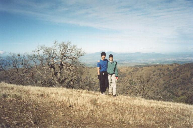
The views were spectacular, with a clear view of Mt. Diablo to the north. A day hike to Rose Peak would be well worth it and I highly recommend it to anyone. From Rose Peak it would be about 20 miles round trip.
Not far from Rose Peak, we made a slight detour to a camp to filter some water from a faucet. We were taking our dear time and within 10 minutes the two dudes from the top of Rose Peak were here too. We chatted for a bit, and they asked us how we fared in the cold and damp weather the day before.
“Well, Sarah kept teasing me for this, but using this red umbrella [Felix points to umbrella], I stayed both warm and happy,” I emphatically exclaimed.
Sarah bursts out laughing.
But what the two dudes revealed next was even funnier, though. “We were using umbrellas too.” Sarah was now beyond disbelief that she was now standing in one place with three guys–all of whom are hardcore hikers–so proud to be using umbrellas in the rain for their hikes.
Shortly afterwards, the two guys took off, and within a very short period of time they were well out of sight. They were jamming. From there the trip was anticlimatic, but still pleasant. Oddly enough, as with many of the ultramarathon bicycle rides I have done, the latter miles just seem to vaporize, not quickly or suddenly, but just pass on by while my mind and body is in another zone. Cycling has a very meditative quality to it, and so does hiking out there in the wilderness, away from the bustling lifestyle of the city.
So for the last 10 miles (or a third of the trip) I have little to write about, except for one more nice surprise: with just a few miles to go I notice a black tubular piece of polypropylene on the right side of the trail. No way, it’s the armwarmer I had lost early on in the hike. I’ve used it in countless ultramarathon bicycle races and training rides since 1993, so it was nice to have it back.
All in all, going to and from Murietta Falls comprised the most enjoyable and rewarding backpacking trip I have ever done, despite it being one of the most challenging hikes–probably only second in difficulty to Mt. Whitney so far. As I write this there are still 11 more months of 2002, not to mention many more years of my life to come (I hope). During this time there are many more backpacking trips I want to do, many more adventures to undertake.
Trip Summary
- Hikers: Felix Wong & Sarah Toas
- Distance: 30 miles
- Lowest Elevation: Sunol staging area @ ~600 feet
- Highest Elevation: Rose Peak @ 3,817 feet
- Duration: 2 days
- Difficulty: strenuous
- Highlight of the trip: Murietta Falls
