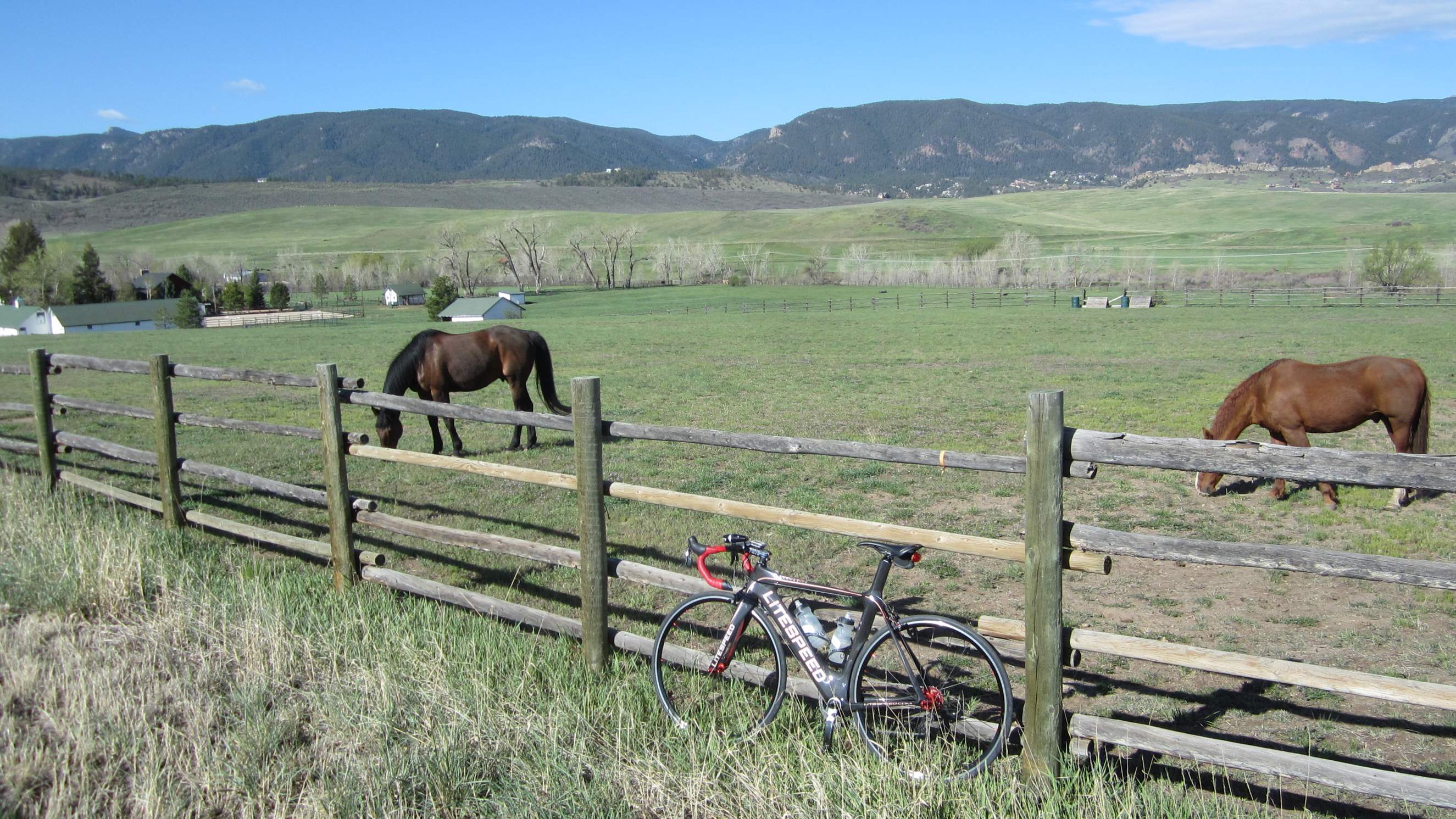
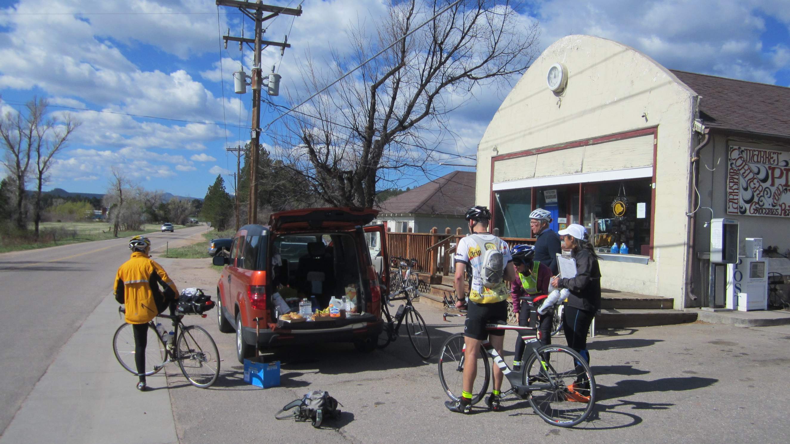
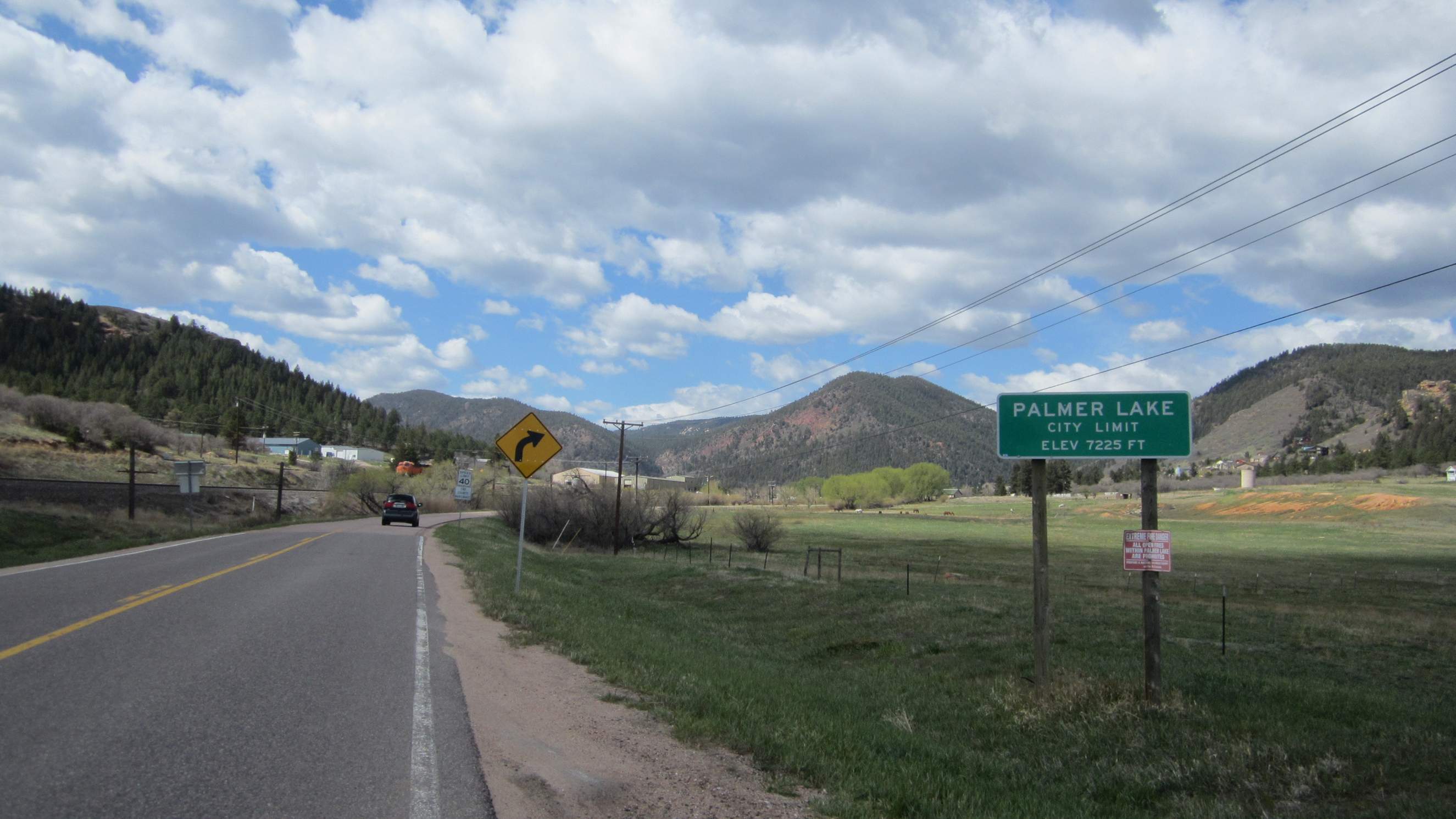
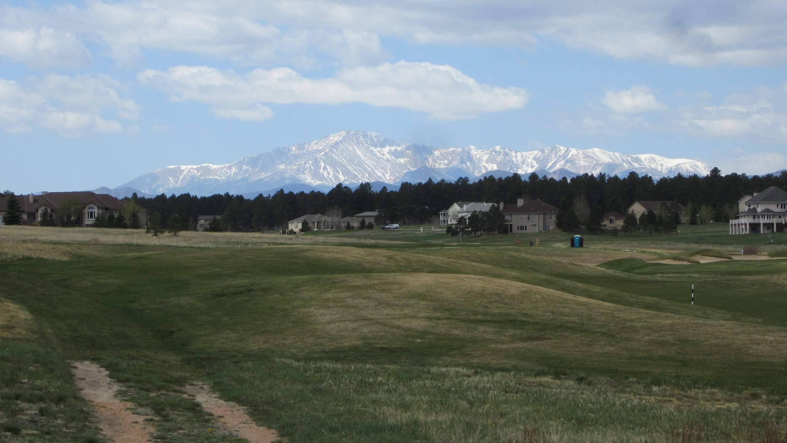
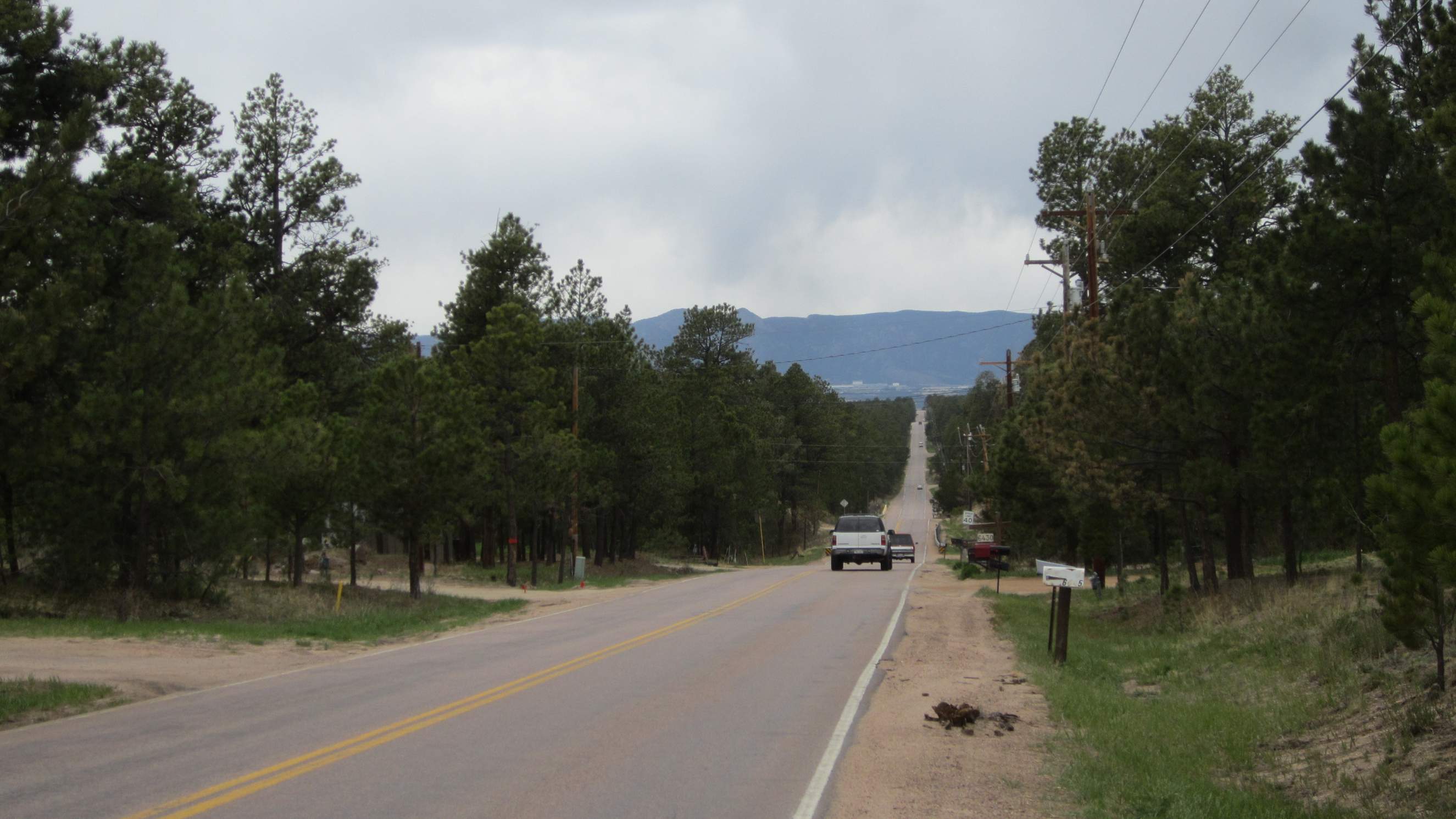
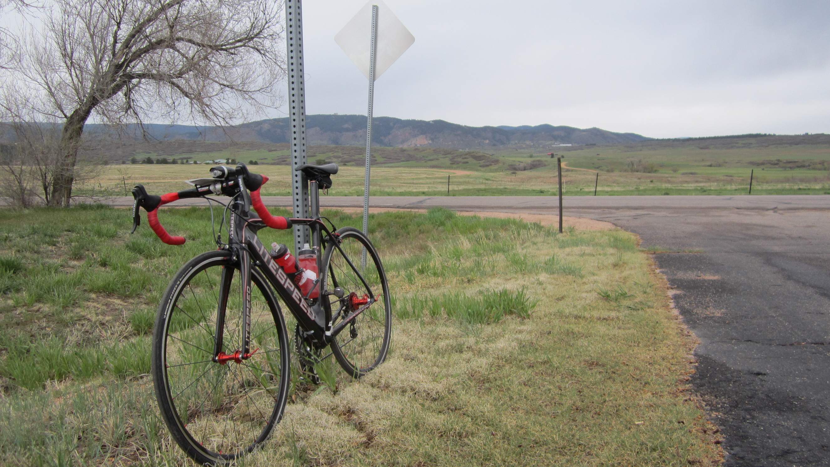
Black Forest 300km Brevet

There I was at Mile 125 on the side of the road, looking forlorn and discombobulated. Whenever I would push my right SRAM shifter in a long sweeping motion, its inner pawl would not engage and the rear deraileur remained as stationary as a mailbox in the wind. After long inspection and reflection as to how I could remedy the lanky lever, I finally concluded that there was no remedy; it was broken. My gear options, effectively, were now limited to two out of the original twenty, those two courtesy of the front derailleur which was still shiftable.
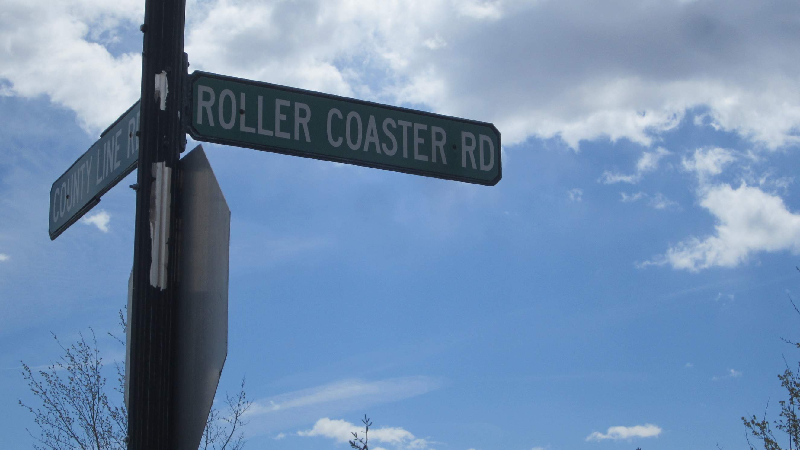
The Super Bike had become a two-speed bike. Not great news considering I was currently on a strip of pavement that was aptly named “Roller Coaster Road,” and most other streets in this organized brevet mimicked the undulations of Walt Disney’s finest too. But by this point, I had been battling bad news all day. What else had happened?
Let me tell you, quite a bit:
- At Mile 25, the Garmin Edge 500—which had given me problems in the last brevet—decided to say “good night” again, randomly shutting off. I was able to turn it back on, but then it would no longer register speed. I fumbled for a few minutes on the side of the road attempting to do a hard reset, but then thought, “Screw it; it’s just going to shut off at some point again. I’ll navigate old school, using my watch to estimate distance traveled so I don’t miss the next turns on the route sheet.”
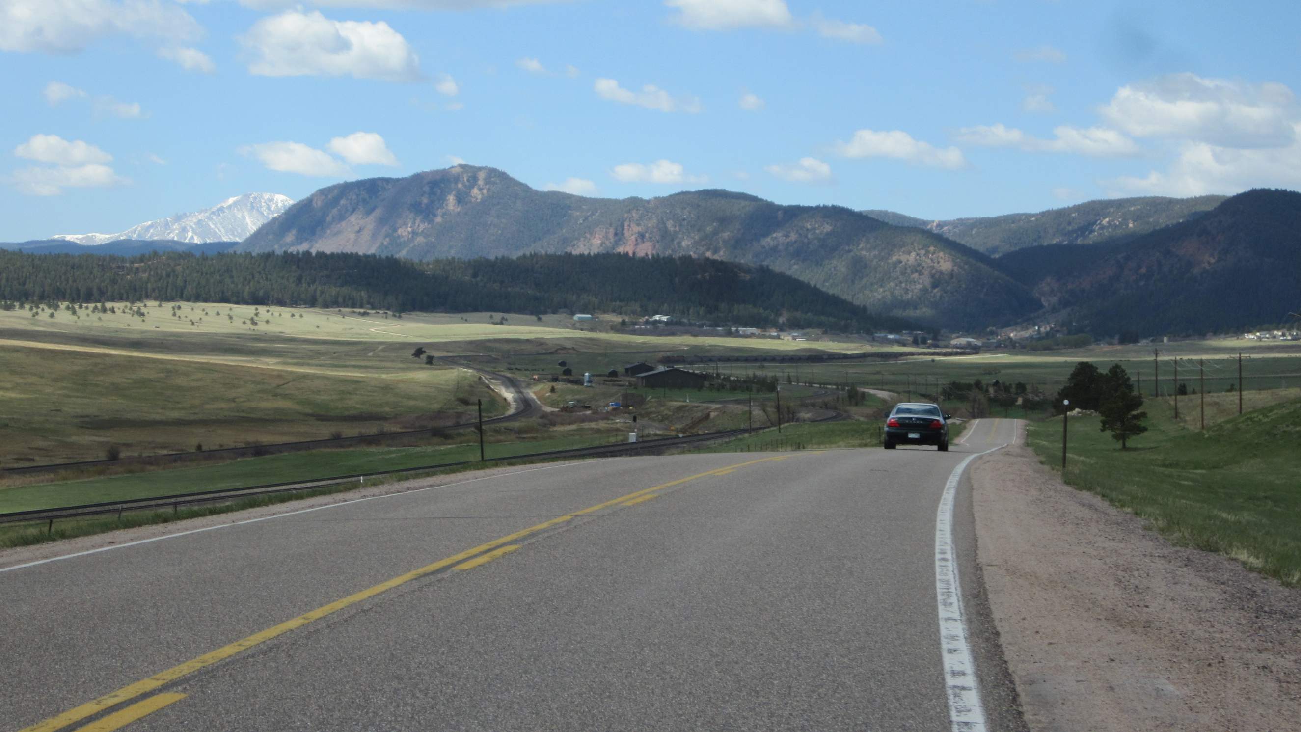
- The first 90 miles were principally in a strong headwind. I don’t mind hills that much (and in this ride of over 9,000 feet of climbing, there were lots), but persistent winds can sap the morale.
- I finally got a reprieve on a stretch of road to Elbert heading north, but along here I heard a small object crash, skimper and skid somewhere below me. The taillight! Unfortunately, despite backtracking, I never found it. Not great considering that at the slow rate I was going, I figured I’d have to ride in darkness for at least half an hour.
- About 20 miles after the shifter broke, it started to rain. It would get progressively worse during the evening. By the end of the ride, I was soaked with a muddy butt and back.
- Just two or three miles from the finish, I got lost on the Platte River trail. The route sheet was excellent up to this point, but extremely vague on navigating the Greenway which required going underneath highway E-470 and then crossing short bridges over the river in the dark.
Despite the trials and travails, I still completed the ride, although I decided that even though I had rolled into the Littleton Park’n’Ride that was the official start and finish of the 300 kilometer (187 mile) brevet, my ride was not done. After driving back home, I continued to ride another 13 to make the day’s total an even 200, albeit on the recumbent in the sanctity of the basement, out of the pouring rain and the now chilly air.
Notes
- Turns out the internal shifter cog was stripped due to weak metallurgy. Apparently, this was a common problem with SRAM Rival shifters.
- I’m sending the Garmin back for yet another out-of-warranty replacement (my fourth!), and will probably resell the replacement unit on eBay. Pretty sure that I’ll just go back to a reliable, “old-fashioned” (non-GPS) cyclometer to register speed and distance, and use my phone to log GPS data for shorter rides. Garmin Support had me connect the Garmin Edge 500 to my computer and then format it. That may solve the problem since before re-formatting, there were only 4 MB free (out of 60!) A month later, so far so good.
- This ride reminded me of the importance of securing everything well as I had merely clipped on the taillight to a strap. In the future, I’ll only attach taillights with nuts and screws and plenty of threadlocker.
- I was also reminded of the importance of redundancy. For example, although my taillight went out, I had a reflective vest with blinking lights I could put on. Even though the Garmin failed, I still had a watch. And despite the right shifter breaking, I still had the left one which gave me two gears (better than one!)
- Other examples of redundancy include having a small helmet-mounted light in addition to a handlebar-mounted light, and carrying patches in addition to tubes. It would be a good idea to carry CO2 in addition to a bicycle pump in the future too (this time I only carried the latter as I hadn’t replenished my supply of CO2 cartridges.
Ride Data
Start time: 5:30 a.m.
Finish time: 8:56 p.m.
Total ride time: 15.5 hours (300km)
Distance: 187 miles (+ 13 when I got home to make it 200)
[Map] [Route Sheet]