Skyline to the Sea Trail, CA
I originally had not planned on doing this trip for this weekend. I had been musing over the idea for months, to see how well my body would fare during back-to-back 35 mile days before I commit to grander distant goals like the Pacific Crest Trail; but my weekends were looking pretty booked until the middle of August. And this weekend I was particularly looking forward to taking out a cute intern I had recently met instead. Given the choice between Mother Nature and a beautiful woman, admittedly, my priorities are with the latter…
But alas, it was not to be: she had forgotten to mention until later in the week that she was supposed to be in Seattle that entire weekend. “Well at least you can do your 70-mile hike now,” she said. So I decided to do an impromptu trip after all.
The Plan
After dropping the intern off at the airport on the Friday night before, I returned home to pack and… plan. Packing wasn’t too difficult; see my Gear List below. However, my plan was sketchy at best, with numerous holes. Indeed, all I knew for sure was that I would do the Skyline-to-the-Sea trail, through Big Basin, about 30 miles west of my house; I wasn’t even sure where I could (legally) camp.
Tentatively, I planned on starting at the the traditional start of the Skyline-to-the-Sea route: at Castle Rock State Park, which I knew well from rock climbing. I’d have to find a place to park my car overnight, though. I knew that overnighters usually park their car in the gated parking lot at Castle Rock, but would it be open by the wee hours of the morning that I wanted to start? I doubted it, but on Saturday morning headed up there anyhow.
And sure enough: when I arrived at 6:00 a.m., the gate was locked. It would open at 8:00 a.m. It would be locked again at sunset, though. It made me very uneasy that if I returned Sunday night after sunset, my car would be locked in, which would be a problem since I needed to pick up Cathy at the airport on Monday morning, and I didn’t think she would be too happy if I was still stuck at Castle Rock at that time.
I looked for a place off the road near Castle Rock I could legally park my car overnight. I checked out the parking lot at Summit Rock, Saratoga Gap, and various turnouts off of Skyline. No can do. There were “NO PARKING 9:00 p.m.-6:00 a.m.” signs posted everywhere.
So I needed to come up with an alternative plan. Ultimately, I settled on starting at the Big Basin Headquarters, 17 miles further west, as I knew there was overnight parking there. Also, after arriving at Castle Rock, I learned there was a campsite (the Waterman Gap Trail Camp) 10 miles east of the headquarters, which made a good midpoint if I went to the coast (12 miles west of the headquarters), came back, and proceeded on to the campsite. This would make a total of at least 34 miles the first day, and another 30 the second day.
The third advantage of starting at the headquarters was that if something catastrophic happened during the hike, I’d be closer to my car. In fact, after 24 or so miles, I would pass by my car, so if I was really hurting, I could have ended the hike there. Of course, this was something I was determined not to do.
The Hike
To the Beach
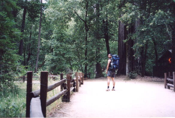
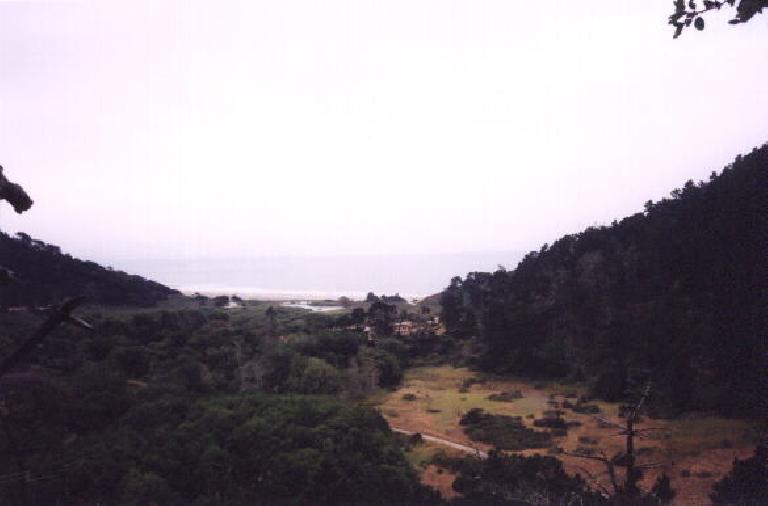
After self-registering for a campsite, I was off at 7:30 a.m. for my epic adventure. I tried not to think about how there was a whole 65 or 70 miles in front of me, but rather, focus on the first segment of the hike: a walk to the beach.
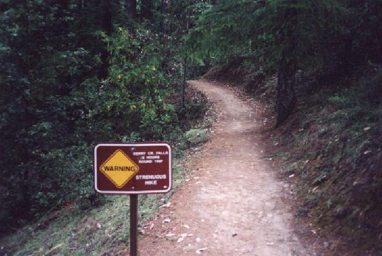
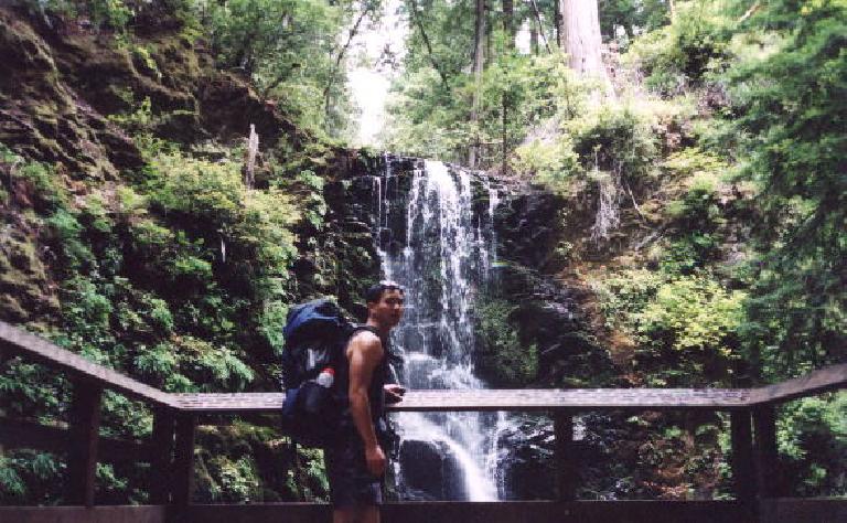
The first part was very familiar to me, having done a hike to Berry Creek Falls and returning on the Sunset Trail with Sarah a year ago. The smell of redwoods, the sound of birds… ahh. Unfortunately, for some reason I thought the Skyline-to-the-Sea trail passed by Golden and Silver Falls in addition to Berry Creek Falls, which was wrong. I only realized this, though, when the trail started going in the direction of the Big Basin Headquarters, or the opposite direction I wanted to go. A senior leader of a boy scout group at Sunset Camp confirmed that, indeed, I had gotten off course about 1-mile back, at Berry Creek Falls. Whoops.
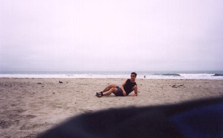
Back on track, it would be almost impossible to get lost until the beach. At the beach, I took my shoes off and relaxed while lying in the sand, eating some food, watching the surfers, and walking a little in the cold water in my bare feet. Half an hour later, it was back to the trail: still well over 50 miles to go.
Back to Big Basin Headquarters
The walk back to Big Basin Headquarters was similarly pleasant, and I was happy to still be feeling alive and fresh, with no discomfort from blisters, sprains, sore muscles, etc. So far so good.
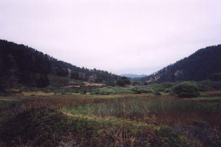
There were many mountain bikers on the trail back along Waddell Creek. There were also a few day hikers. I also saw the boy scout camp I had seen hours earlier walking towards the coast. They would stop and set up camp near there; my campsite was still >20 miles away.
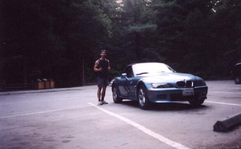
By 3:00 p.m. or so, and after some of the more vigorous climbs during the trip (in which I was speed-walking up nevertheless), the Big Basin Headquarters was in sight. And so was Lina. I waved to her (imagine waving to your car), and mumbled to her, “I’m feeling good… I’ll see you tomorrow.” And just like that, I was back on the trail.
To Waterman Gap Trail Camp
I was already in record territory for the longest hike I’ve ever done in a day (previous record was the 21 miles during my day hike up and down Mt. Whitney in 2000.) Shortly after Big Basin Headquarters, I would be in record territory for most miles on foot I did in a day (previously, the 26.2-mile marathons I ran in 1999 and 2001), and longest backpacking trip (30 miles, Murietta Falls). How did it feel?
Pretty darn proud, that’s how.
In fact, at this point I was still feeling very strong and alive, but I intentionally slowed down my pace because it looked like I’d get to camp well before the sun went down. I had hope to get to camp just when it was getting dark, and then go to sleep immediately after eating. I was previously doing 3 mph all day; now I wanted to go just 2 mph.
The trail again had its share of ascents (many, in fact), but at the deliberately slower pace I was going, no problem. I saw only a few people in these areas.
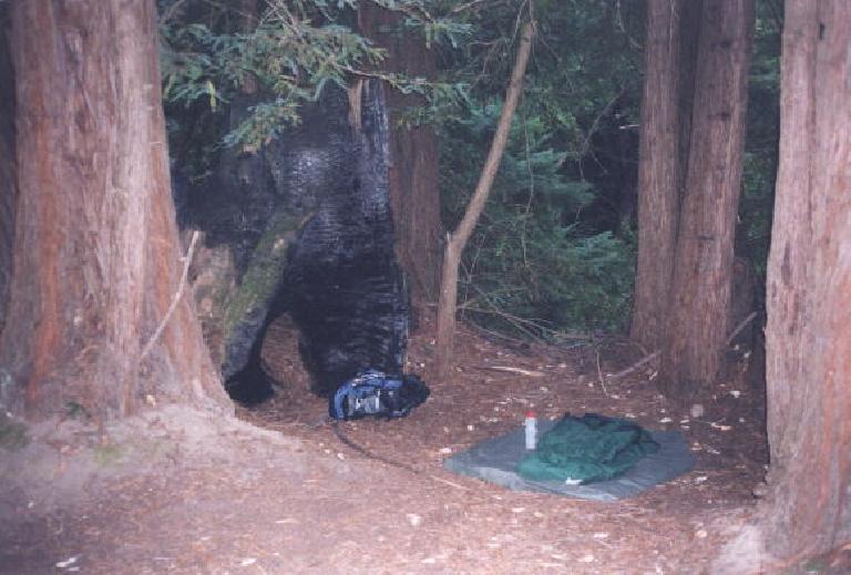
The main question I had in my mind was where was the Waterman Gap Trail Camp? The answer would be: about a mile past the intersection of Highway 236 and Highway 9. It turned out to be a splendid campsite: inset of a redwood grove, with running water and a toilet house. Only one campsite was taken (out of maybe 6 or so). So at 7:45 pm, just before dusk, I picked campsite #4, which was a little circle inside a grouping of redwood trees. The weather was so pleasant that I didn’t bother to erect my tent; I just put my sleeping bag down on a groundcloth. I crawled in this immediately, however, mainly because it was here the mosquitoes started biting. The mosquitoes were the only thing disturbing this little piece of tranquility, and I managed to ignore them while munching on some peanut butter and jelly sandwiches and pita bread with tofu cheese and cherry tomatoes. A nice treat to end the day.
From Waterman Gap Trail Camp to Castle Rock
I slept so soundly that nice in the nice little redwood grove that I ignored my 5:00 am alarm and slept well past 7:00 a.m. That was almost 10 hours of sleep.
I woke up with a little tightness in my legs, but nothing debilitating at all. In fact, I was very pleased with how I was feeling. Today my pack would be lighter plus would be more downhill and uphill after getting to Castle Rock, I thought to myself. Never mind that Castle Rock was about 10 miles away.
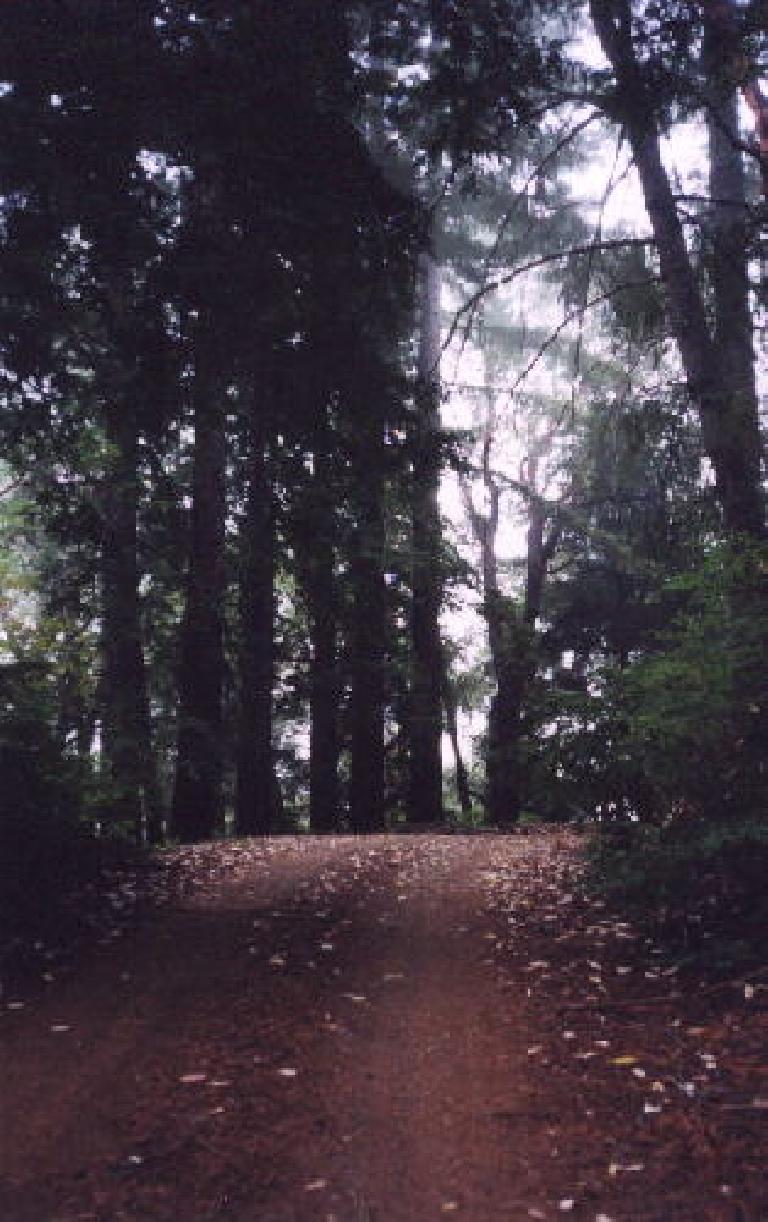
The morning well past 10:00 am was very misty and foggy up in this area. There were even some near-white-out conditions. I certainly didn’t mind, as it just made the entire environment a little bit more magical, a little less familiar.
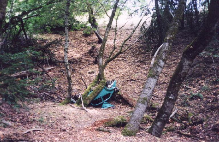
What wasn’t quite so magical, though, were vehicles in the area. First were all the car and motorcycle noise one hears as this section of the Skyline-to-the-Sea trail was not much more than 50 feet away from Highway 9–it was a constant reminder that “civilization is nearby” and took away from the “in the woods” feeling a little. Second were sights much more disturbing: cars that had run off the road and plunged down into the woods, perhaps decades earlier. There was a blue Chevy station wagon (the type you saw in the Brady Bunch), and an old-style Volkswagen Beetle which had rolled over on its top, only to be stopped and trapped by trees. The Beetle even had its wheels stolen from it, and looked like a little toy among the massive redwoods. Nevertheless, these sightings can only make one wonder if their owners had survived the accident (perhaps not, or at least not without serious injury), and that once someone does run off the road, the vehicles are likely stuck there forever, as Caltrans apparently is not going to try to remove them from out of the woods.
The Skyline-to-the-Sea trail eventually met up with Saratoga Toll Rd., a dirt trail that in the early part of the 20th century was used for vehicles but now is mainly a footpath. This would take me to Saratoga Gap, where there are usually motorcycles congregating and hot dogs being sold. Alas, there were neither on this morning, surprisingly.
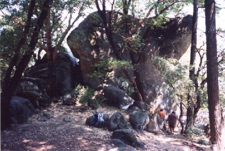
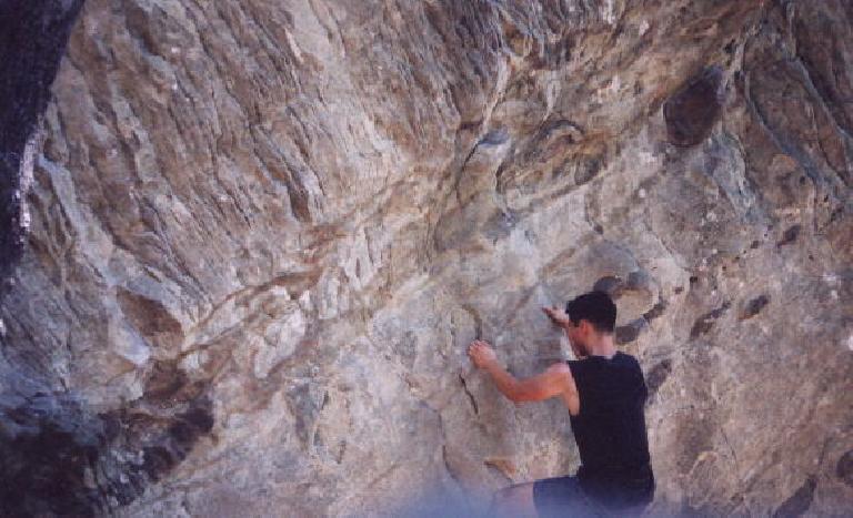
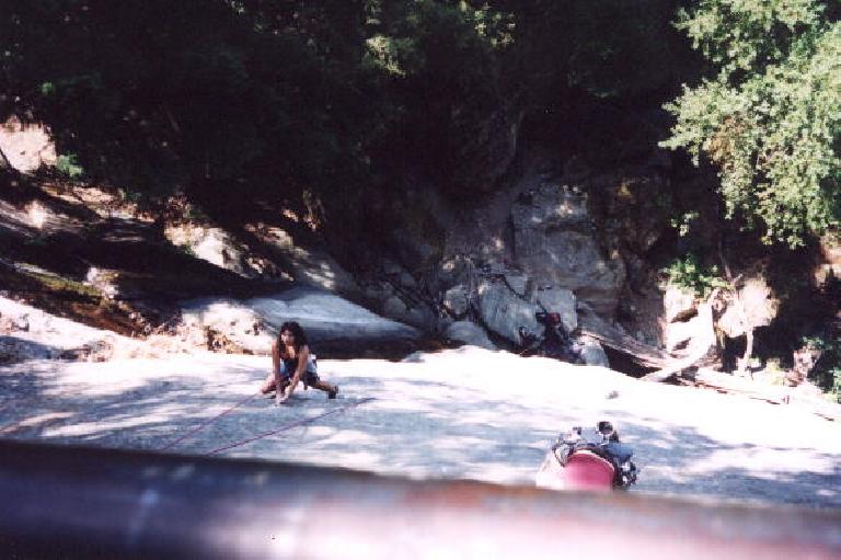
Instead of going through Castle Rock State Park (via the Ridge or Saratoga Gap Trail) to the Castle Rock Parking lot, I decided to take a trail along Skyline Blvd. called the Skyline Ridge Trail. It was then I decided that during this trip I would try to stop by all of the rock climbing routes I had climbed in the past. In doing so, I made slight detours to Summit Rock and Indian Rock on the way to the parking lot.
By 12:30 p.m. or so, the parking lot was in sight. This would be the highest altitude during the trip (maybe 3000 feet or so). I stopped to use the toilet house, and stood in line behind some other hikers who were discussing what mileage they would be doing: 3 or 5 miles. Keeping my mouth shut during their entire conversation, I could not help but think: “Wow, here they are squabbling over whether to do 3 or 5 miles, and here I am already having done almost 50.”
To Castle Rock Trail Camp
In keeping with my plan to stop by the major rock climbs I had done in the past, I took the Ridge Trail up to Goat Rock. Then I backtracked to a stream where I filtered some water, and headed over to Castle Rock Falls. Many people were looking over the lookout balcony above the falls, as two climber chicks were really putting on a show on this near-100-foot climb.
I continued on the Saratoga Gap Trail, which got a little sketchy with a lot of exposure in some places (but not enough to be scary or totally dangerous), and passed by a climbing area called M&M’s, where Vinita and I had climbed last December.
A mile or so past M&M’s was the Castle Rock Trail Camp, which again had running water. Due to all the water sources during this hike, I only had to filter water once. And this was only with a 50-oz water carrying capacity. Splendid.
After the camp was a long extended downhill, so I started…jogging. Incredible, I thought: this is Mile 55, and I am feeling good enough to run. I then decided to jog on all downhills, eager now to get to the finish, still over 15 miles away.
I stuck with this strategy back on the Skyline-to-the-Sea Trail, passed the abandoned run-off-the-road cars (in which I sped up), passed Waterman Gap Trail Camp (where I would refill water once again), and then back on the trail that ran adjacent to Highway 236.
I stopped jogging at all after Mile 65, when my legs were starting to get noticeably tighter and my right knee was experiencing slight discomfort. At Mile 67, with just over 3 miles to go, I was already congratulating myself. “I can basically crawl back to the car now, it’s that close,” I thought.
Er, not quite. With 2 miles to go I had developed a left shin splint. My pace was really decreasing at this point. Instead of going 3 mph, I was probably going only 2 mph. Meaning that, the last measly 2 miles still took about an hour, which seems like a bit of time with a shin splint.
But finally, after some false hopes (given by the sound of cars), I was back at the Big Basin Headquarters. It was 7:15 on a Sunday night, and most people had already headed back home. But it was not lost on me that over a two-day weekend, I had just hiked a distance most people probably don’t walk in a month: 71 miles.
Final Thoughts
As stated in the introduction, one of my motivations for doing this hike was to see how my body would fare on back-to-back 30+ mile days. I was glad to see that I was just fine with 2 consecutive ~35-mile days this weekend, though the next day, I would NOT have been able to hike another 35 miles without extreme difficulty. When I got home, it was even difficult for me to walk down stairs, as (in particular) my left shin was so sore.
I think, however, this condition was due to the jogging I did from Miles 55-65, and not from hiking. I say this based on how well I felt after just hiking 55 miles. After Mile 65, I was feeling much worse. Hiking is much gentler on the joints and muscles than jogging.
So would I do the Pacific Crest Trail in the future? I came away with the confidence that I my body could likely handle such a challenge. However, I’m still undecided I’d really want to do it. A day of such hiking was a nice way to clear one’s head, and be alone with your own thoughts; after a couple of days, things begin to seem more monotonous, I think. Or perhaps it was because I was already so familiar with the surroundings, having hiked or climbed in several parts of the area before. Being out in the woods is nice, but there are also a lot of nice things about civilization, like your friends, home, clean clothes, and an abundance of different things to keep you on your toes.
Route Sheet
Day 1
| Total | Segment | Directions |
| 0 | Big Basin Headquarters | |
| 0 | .25 | Took foot trail at back of parking lot to Skyline-to-the-Sea Trail |
| .25 | 3.75 | Took Skyline-to-the-Sea Trail to Berry Creek Falls |
| 4 | 1 | Went past Berry Creek Falls, Silver Falls, and Golden Falls to Sunset Camp |
| 5 | 1 | Turned around at Sunset Camp and went back to Berry Creek Falls |
| 6 | 8.5 | Found Skyline-to-the-Sea Trail, passed Waddell Creek, and took all the way to the beach/Pacific Ocean. Faucet water available at Waddell Creek staging area. |
| 14.5 | 12.5 | Walked back to Big Basin Headquarters. Faucet water available. |
| 27 | 10 | Took Skyline-to-the-Sea Trail all the way to the Waterman Gap Trail Camp, about 1 mile past the Highway 9/236 intersection. |
| 37 | 0 | Setup camp. |
Day 2
| Total | Segment | Directions |
| 37 | 7 | Took Skyline-to-the-Sea Trail and then Saratoga Toll Road, both adjacent to Highway 9, all the way to Saratoga Gap (corner of Highway 9/35). |
| 44 | 2 | Took Skyline Ridge Trail to Summit Rock. |
| 46 | 1 | Went from Summit Rock to Indian Rock. |
| 47 | .5 | Went from Indian Rock to Castle Rock parking lot. |
| 47.5 | 1.5 | Took Ridge Trail to Goat Rock. |
| 49 | .5 | Backtracked to intersection of Ridge Trail and Saratoga Gap Trail. Filtered some water at river. |
| 49.5 | .25 | Took Saratoga Gap Trail to Castle Rock Falls to watch climbers. |
| 49.75 | 2.25 | Continued on Saratoga Gap Trail to Castle Rock Trail Camp. Refilled water bottles with faucet water. |
| 52 | 8.5 | From the camp, took Saratoga Toll Road back to Skyline-to-the-Sea Trail, and to Waterman Gap Trail Camp. |
| 60.5 | 10 | Skyline-to-the-Sea Trail to Big Basin Headquarters. |
| 70.5 | Finished |
Gear List
Items in backpack:
- tent
- ground cloth
- Pack Towel
- Slumberjack 0deg synthetic sleeping bag
- shovel
- filter
- cell phone
- headlamp
- Palm
- emergency glow light
- first aid kit
- extra clothing:
- windbreaker
- recumbent jersey
- thermal shorts
- nylon rain pants
- double-layered Wigwam socks
- fleece headband
- doggie bag
- toothbrush, toothpaste, dental floss
Waist Pack:
- compass
- camera
- thermometer
- 2 spare AA batteries
- swiss army knife
- whistle
- sunscreen
- bug repellent
All of above: 20.8 lbs.
Food:
- 9 oz fo fig bars
- 2 handfuls of Trader Joe’s Cat Cookies (for people)
- 3 bananas
- 6 Trader Joe’s pita bread
- .69 lb Tofu Rella “tofu mozarella”
- 1 lb sugar plum tomatoes
- 1 fuji apple
- 9 Clif bars
- 8 Sunbelt oatmeal raisin granola bars (10 oz total)
- 1 pack Dare Cabaret crackers (7 oz.)
- 12 half-sandwiches using Trader Joe’s Better’n’ Peanut Butter (2.5g of fat instead of 13g of fat per serving) and strawberry jam (approx 14 oz. total)
- soy nuts
Water:
- 30 oz water bladder
- 22 oz Devil Mountain Double water bottle
32.0 lbs. all of above (food + water hence = 11.2 lbs.)
When I returned home my pack was probably about 23 lbs., as I had consumed most of the food aside from maybe .25 lbs of the tofu cheese, another .25 lbs. of sugar plum tomatoes, and maybe .25 lbs. of crackers and pita bread. Note that I could have saved about 3.5 lbs. if I left my tent at home (since I ended up only sleeping on a ground cloth as it was so nice outside), in which my pack would have been under 20 lbs.
Trip Data
- 71 mi
- Day 1: 7:30 a.m. – 7:45 p.m. = 12.25 hours
- Day 2: 7:30 a.m. – 7:15 p.m. = 11.75 hours
- Overall Average Speed: ~3 mph
- Minor injuries: blisters on top of right big and small toes; left shin splint after Mile 69; right knee discomfort after Mile 60
Rating
- Scenery: 3. Pretty with some variety (otherwise mostly redwood trees), but I’ve seen it all already.
- Weather: 5. Near-perfect.
- Relative Difficulty: 3+. The trail is never super steep, so the challenge is the distance.
- Overall Rating: 3
There are 2 comments.
Major props and doing this by yourself!
Thanks! That was a fun memory.