Running All Fort Collins Urban Trails
Back in September—shortly after Fort Collins had been designated a Runner Friendly Community by the Road Runners Club of America—the Fort Collins Running Club announced an event called the FCRC Fall Run-off. It challenged members to run every urban trail in town—all 36 miles of them.
This sounded like a great idea to me, not only as a means to explore other regions of the city but also as an interesting way to train for the upcoming Cache La Poudre and New York City marathons. So even though the FCRC encouraged people to form teams to take on the challenge, I participated as a team of one.
Ultimately it took me a week (in which I ran on five days) to complete the run-off. Here is an table of the mileages, with Strava data.
Mileage and Strava Data
| Trail | Miles on Trail | Date | GPS Data |
|---|---|---|---|
| Poudre River Trail [Lions park in LaPorte to Taft Hill Rd] | 1.75 | 9/29/2016 (Thu) | Strava data |
| Poudre River Trail [Taft Hill road to Shields] | 1.1 | 9/29/2016 (Thu) | Strava data |
| Poudre River Trail [Shields to College] | 1.4 | 9/29/2016 (Thu) | Strava data |
| Poudre River Trail [College to Lemay] | 1.75 | 9/29/2016 (Thu) | Strava data |
| Poudre River Trail [Lemay to Mulberry] | 0.22 | 9/29/2016 (Thu) | Strava data |
| Poudre River Trail [Lemay to Timberline] | 1.6 | 9/29/2016 (Thu) | Strava data |
| Poudre River Trail [Timeberline to Prospect] | 1 | 9/29/2016 (Thu) | Strava data |
| Poudre River Trail [Prospect to ELC Parking Lot] | 1.5 | 9/29/2016 (Thu) | Strava data |
| Poudre River Trail [At Araphao Bend Nat Area] | 2 | 10/4/2016 (Tue) | Strava data |
| Spring Creek Trail [Poudre River Trail to Prospect] | 0.85 | 9/29/2016 (Thu) | Strava data |
| Spring Creek Trail [Prospect to Lemay] | 1.25 | 9/29/2016 (Thu) | Strava data |
| Spring Creek Trail [Lemay to College] | 1.25 | 9/29/2016 (Thu) | Strava data |
| Spring Creek Trail [College to Shields] | 1.25 | 9/29/2016 (Thu) | Strava data |
| Spring Creek Trail [Shields to Drake] | 0.75 | 9/29/2016 (Thu) | Strava data |
| Spring Creek Trail [Drake to Taft Hill] | 0.42 | 9/29/2016 (Thu) | Strava data |
| Spring Creek Trail [Taft Hill Road to Spring Canyon Park] | 1.16 | 9/29/2016 (Thu) | Strava data |
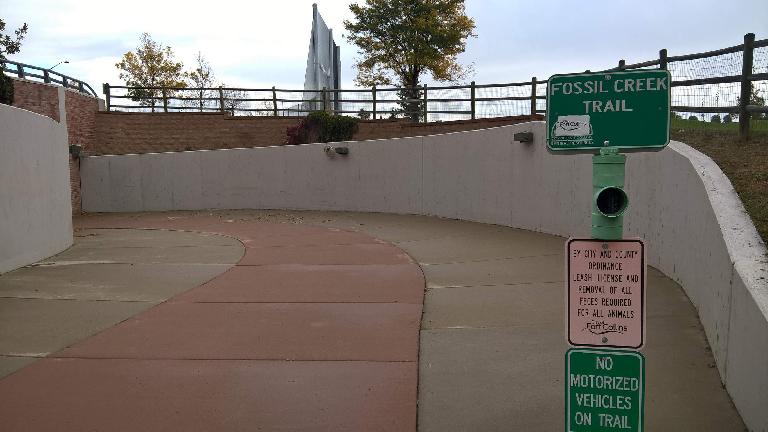
| Fossil Creek Trail [Spring Canyon Park to Luther Lane] | 1 | 10/5/2016 (Wed) | Strava data |
| Fossil Creek Trail [Luther Lane to Taft Hill Rd] | 0.75 | 10/5/2016 (Wed) | Strava data |
| Fossil Creek Trail [Taft Hill Rd to Shields] | 1.5 | 10/5/2016 (Wed) | Strava data |
| Fossil Creek Trail [Mason Trail east to Highway 287 underpass] | 0.5 | 10/6/2016 (Thu) | Strava data |
| Fossil Creek Trail [College Ave to Fossil Creek Park and Lemay] | 1.42 | 10/6/2016 (Thu) | Strava data |
| Fossil Creek Trail [Underpass at Trilby rd east to Power trail] | 0.97 | 10/6/2016 (Thu) | Strava data |
| Fossil Creek Trail [North from Carpenter through Stanton Creek] | 0.7 | 10/4/2016 (Tue) | Strava data |
| Fossil Creek Trail North [Strauss Cabin Road to Radiant Park] | 0.58 | 10/4/2016 (Tue) | Strava data |
| Fossil Creek Trail North [Radient Park to Brookwater] | 0.47 | 10/4/2016 (Tue) | Strava data |
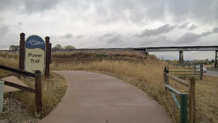
| Power Trail [Epic to Drake Rd] | 0.75 | 9/30/2016 (Fri) | Strava data |
| Power Trail [Drake to Horsetooth] | 1 | 9/30/2016 (Fri) | Strava data |
| Power Trail [Horsetooth to Golden Meadows] | 0.75 | 9/30/2016 (Fri) | Strava data |
| Power Trail [Keenland to Trilby] | 1.39 | 10/6/2016 (Thu) | Strava data |
| Hickory Trail [Poudre River to Hickory St] | 0.5 | 10/4/2016 (Tue) | Strava data |
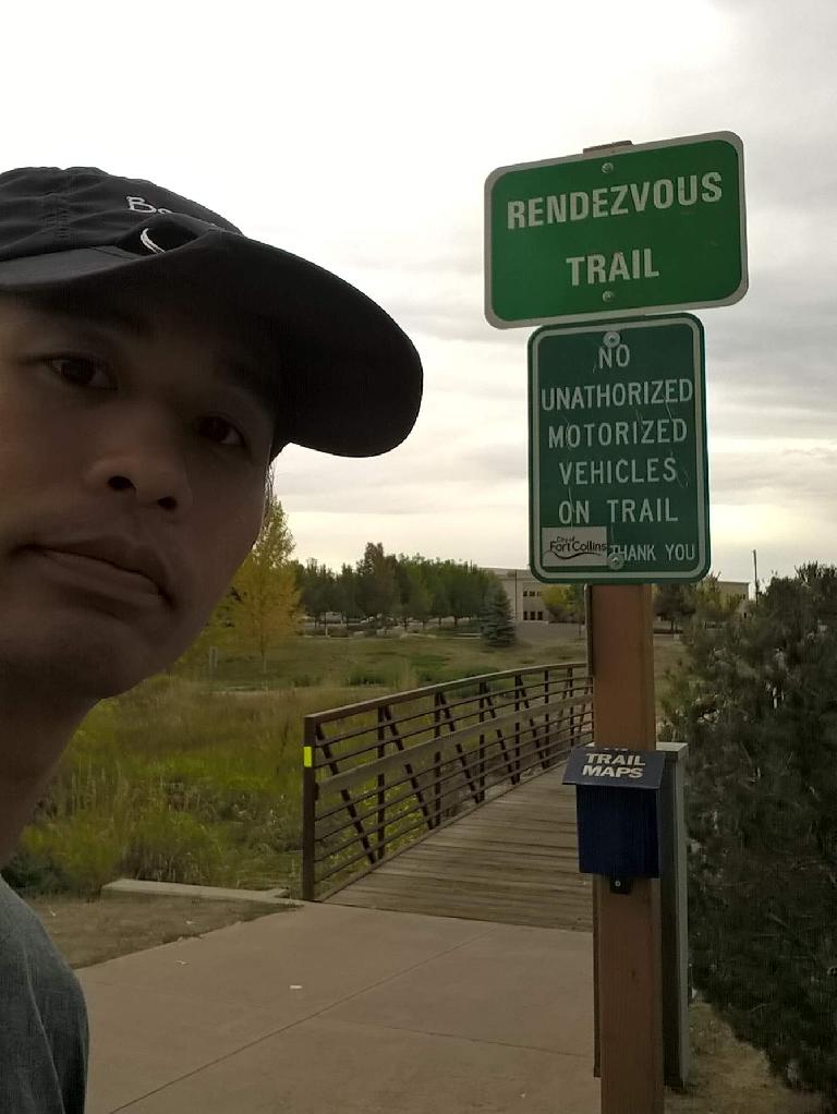
| Rendezvous Trail [Pine cone circle to Rigden parkway] | 0.8 | 9/30/2016 (Fri) | Strava data |
| Canal Trail (Pleasant Valley Trail) [Horsetooth Road to City Dentention Pond] | 0.5 | 10/5/2016 (Wed) | Strava data |
| Northeast Main Trail [North of maple hill park] | 0.13 | 10/4/2016 (Tue) | Strava data |
| Main Spur Trails [Major spur trail to main trail] | 2 | various | Data1 , Data2 , Data3 , Data4 , Data5 |
| Mason Trail (maintained by Streets) [Spring Creek South to Fossil Creek Trail] | 3.85 | 10/6/2016 (Thu) | Strava data |
| TOTAL | 38.81 |
Notes
It was a great way to put in the miles while minimizing exposure to car traffic. Citizens of Fort Collins are really lucky to have this system of urban trails; almost every resident lives within a mile or two from a paved recreational path.
Of course, there are also many other trails in town not under the jurisdiction of the city and were not included in this challenge, such as those maintained by Home Owners Associations. For example, in my neighborhood alone there is a ten-foot-wide, 0.75-mile gravel recreation trail that runs by a pond and nature preserve, connects to an infrequently traveled dirt road, and is only five homes away from my house. There are also many dirt paths (e.g., singletrack) in or around Fort Collins that probably outnumber official paved ones.
But for those who are interested in running every city-owned urban trail, here are some tips below.
Tips
- Study the Urban Trail Map in the Resources section below and strategize before embarking on this challenge.
- There are several trails that could be run in tandem. For example, the Poudre Trail connects to the Spring Creek Trail. On the first day of the Fall Run-off, I ran both of these, completing half (18 miles) of the urban trail ssytem already.
- The Trail Distances webpage noted in the Resources section has a section called “Main Spur Trail” that lists “Major spur trails to the main trail.” There is no trail named the “Main Spur;” instead, this refers to offshoots or “branches” (spurs) off a primary trail (e.g., the Poudre Trail, Spring Creek Trail, etc.) It is best to run all these spurs when you are running the primary trail. Otherwise, if you don’t, you will have to spend a lot of time driving or riding your bike back to them later. I know because I realized what the “main spurs” were after running the Poudre and Spring Creek trails and had to go back to them.
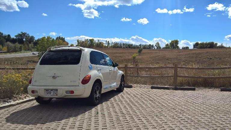
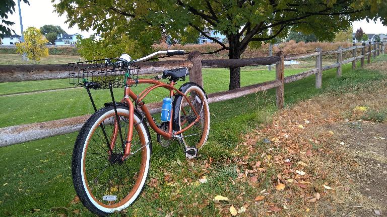
- One way to avoid doubling back on some of the longer trails is to leave a bicycle at one end and a car at the other. I did this for several trails using my Huffy Cranbrook and Chrysler PT Cruiser.
Resources
City of Fort Collins: Urban Trail Map
City of Fort Collins: Trail Distances
