Lake Tahoe Day Trip: Emerald Bay and Beyond

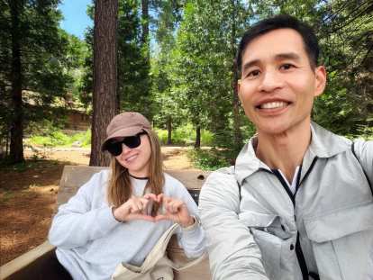
The last time I had been to Emerald Bay was in 2002, when apparently my idea of a fun time was stripping down to my boxers and going for a swim in water cold enough to make a polar bear reconsider its life choices. Two and a half decades later, Andrea and I made the drive up from Stockton on a fine summer morning, this time with the intention of keeping our clothes on.
We left the house by 8:30 a.m., with Apple Maps routing us through Eldorado Hills—a name that sounds more like a retirement community than a stretch of Northern California foothills—then on through Placerville and up to Highway 89. Placerville caught Andrea’s eye enough that she wanted to stop on the way back, though we’d end up running out of time. First stop was Whole Foods in South Lake Tahoe for picnic supplies: a chicken Caesar wrap, a bean and cheese burrito, fruit, pistachios, and flavored sparkling water. The latter prompted Andrea to muse that if Spain offered more of it, people there might drink less beer. A bold hypothesis, one I fully support.
Gas near the lake was $6.799 a gallon—about a dollar more than Stockton and on par with San Francisco, which is its own kind of mountain tax.
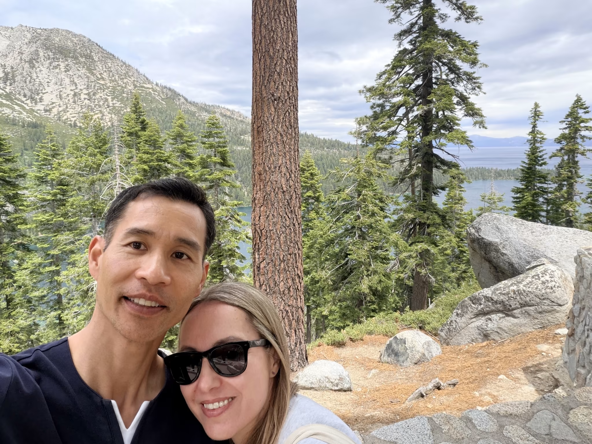
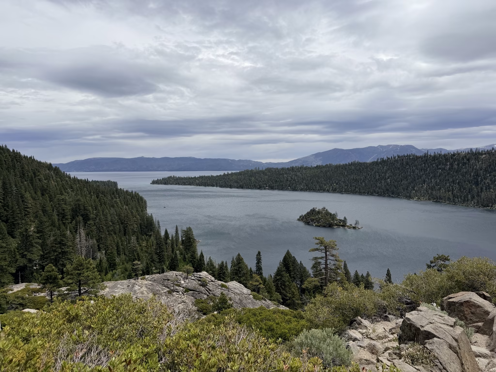
Our first stop was Inspiration Point, which costs $6 to park (cash only, 30-minute limit enforced with the gentle menace of a sign). The views were good, but the ones from the Vikingsholm area turned out to be better—so think of Inspiration Point as the opening act.
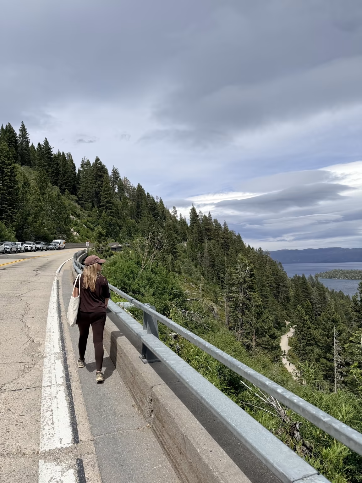
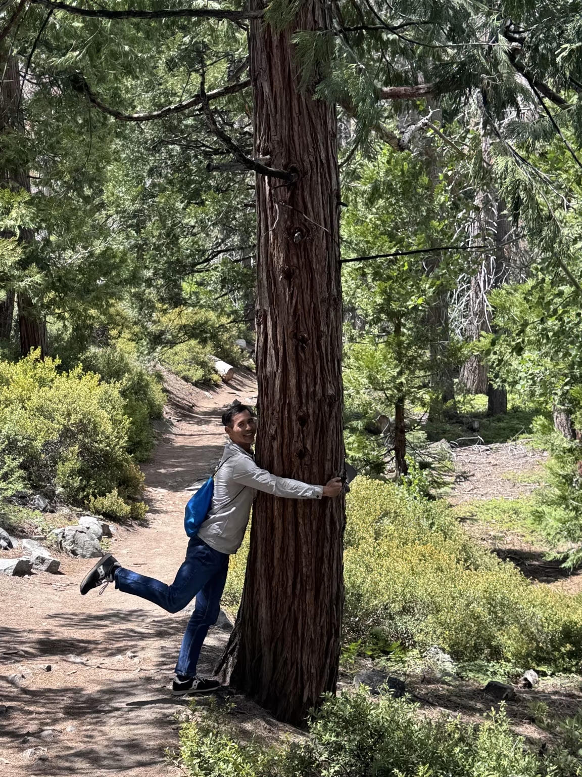
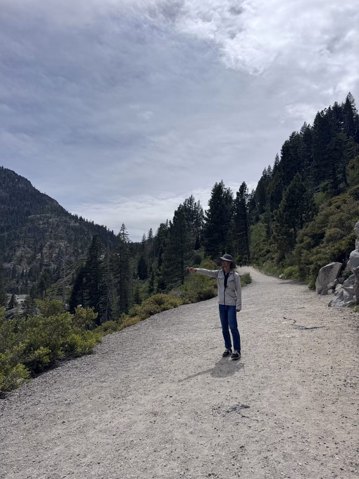
The Vikingsholm parking lot was full when we arrived, which at Lake Tahoe in summer is less a surprise than a natural law. We ended up parking a kilometer up the road along the shoulder of the highway and hoofing it back. Signs at the trailhead warned of an “extremely steep hike.” The descent was steep, but I’d file “extremely” under creative license. The trail drops about 400 feet over a mile, which is a workout on the way back up but hardly mountaineering.
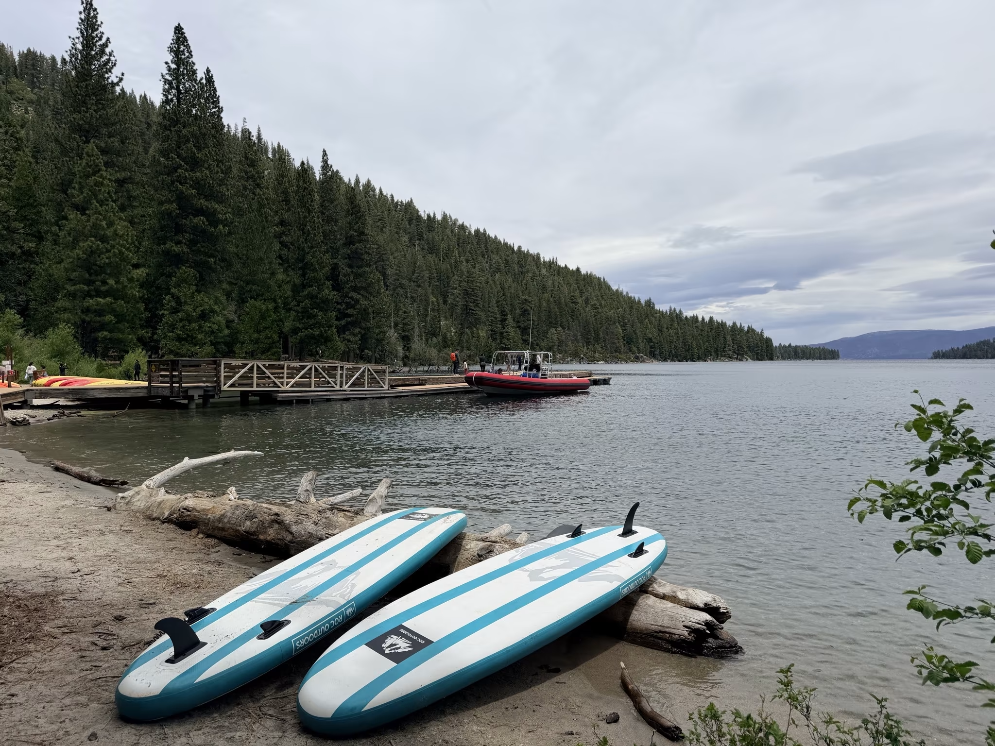
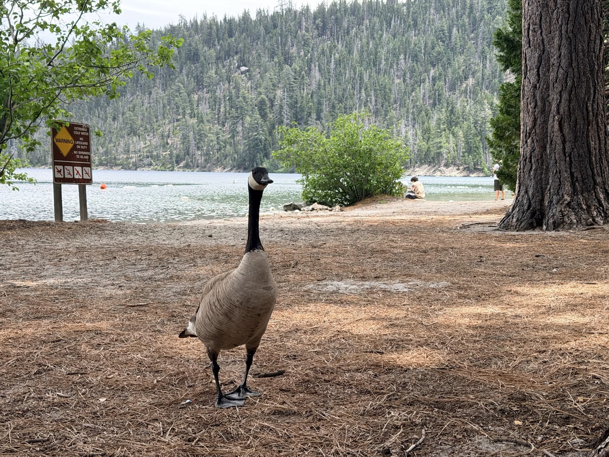
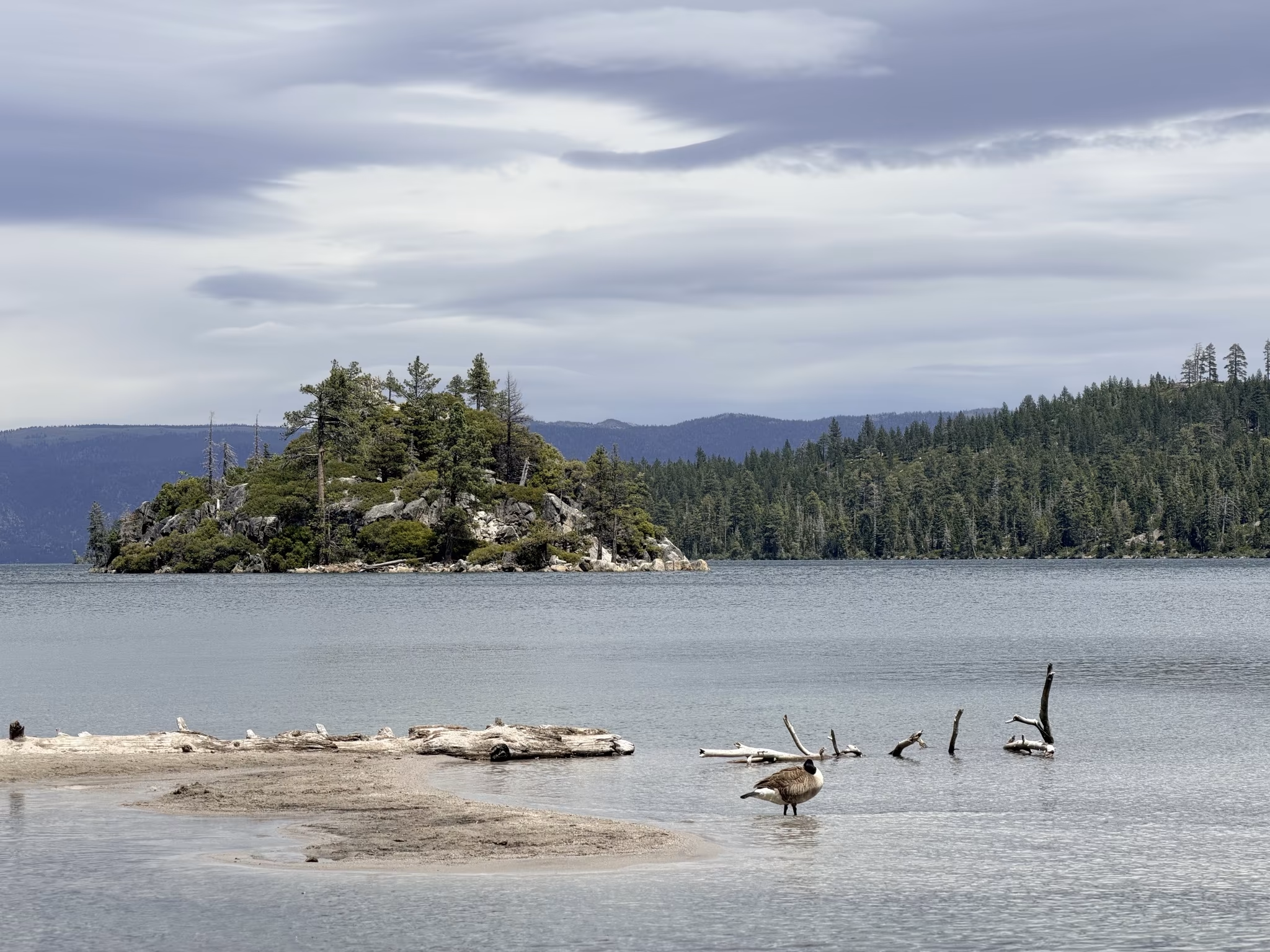
Down at the beach and dock, Emerald Bay lived up to its name: the water shimmered in that particular shade of blue-green that makes you want to quit your job and never leave. A sign near the water gravely warned that it was “extremely cold”—a word the park service seems to deploy liberally—and discouraged swimming to Fannette Island, Lake Tahoe’s only island, sitting like a punctuation mark in the middle of the bay. I’m not sure how that prohibition would be enforced against someone sufficiently motivated, but the sign was there.
The island’s highest point holds the ruins of a small stone Tea House, built in the late 1920s by Lora Knight—the same wealthy heiress who commissioned the neighboring Vikingsholm castle. Knight had traveled to Scandinavia with her architect nephew, Lennart Palme, to study Nordic architecture before building Vikingsholm, and the fjord-like setting of Emerald Bay had apparently spoken to her. The 38-room castle, completed in 1929, is considered one of the finest examples of Scandinavian architecture in North America—dragon-head beam ends, hand-hewn timbers, leaded-glass windows, and all. As it turned out, a sign near the water mentioned that Knight later purchased a 36-foot twin-engine cruiser from a boatyard in Stockton—our very point of origin on this trip—to ferry herself and guests across the lake. Small world.
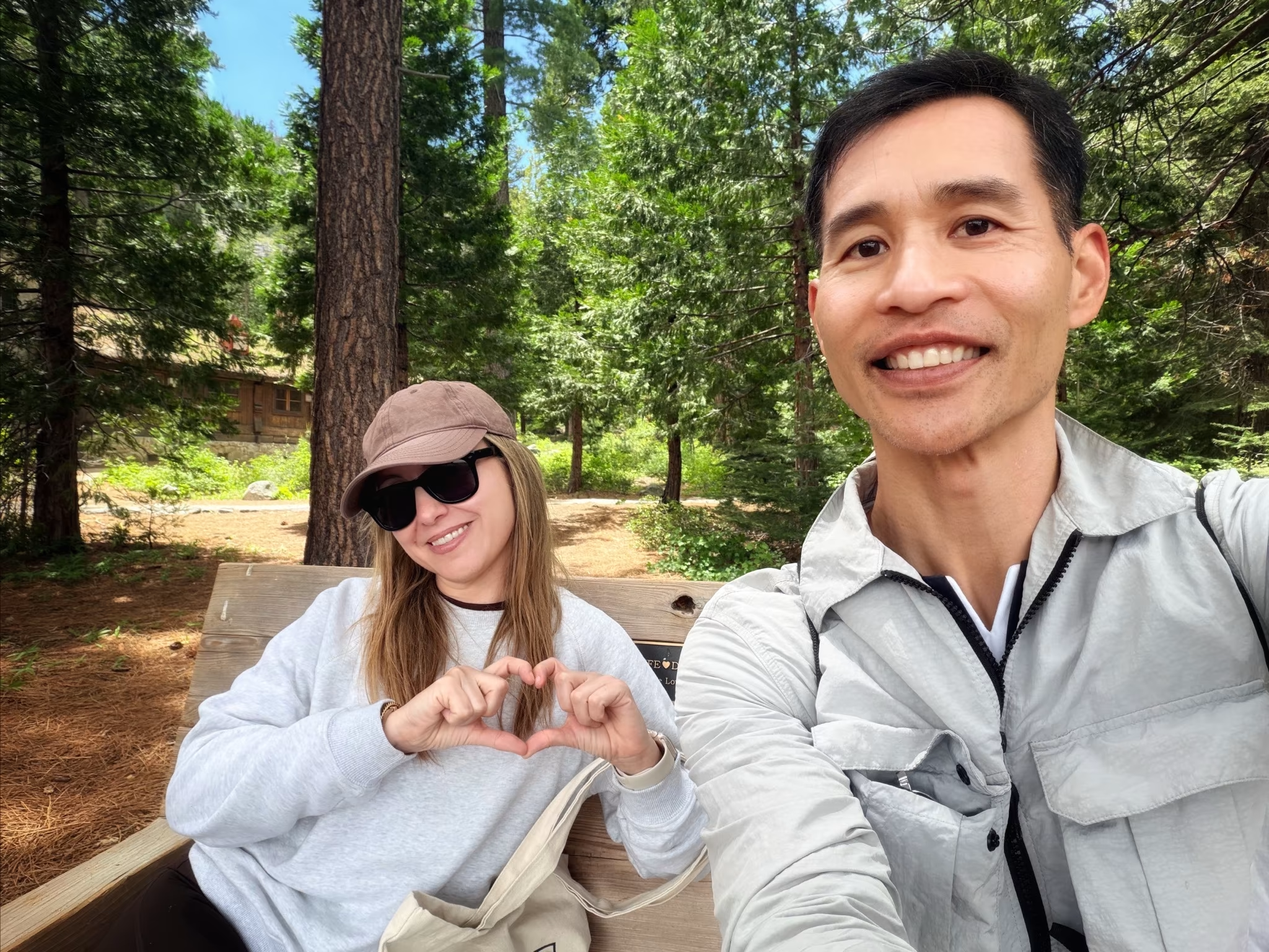
We found a lake-facing bench and spread out our Whole Foods picnic. Almost immediately, we had company.
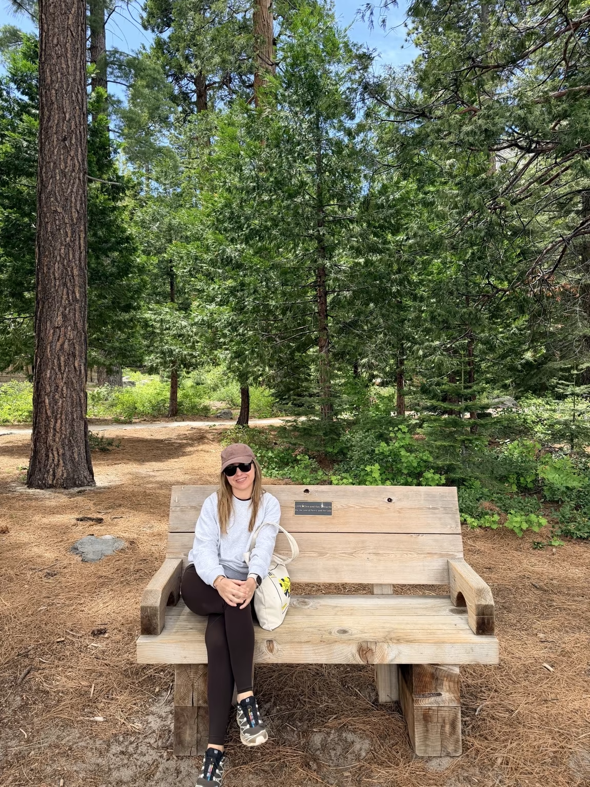
A squirrel materialized first, with the practiced nonchalance of an animal that has learned proximity to humans equals proximity to food.
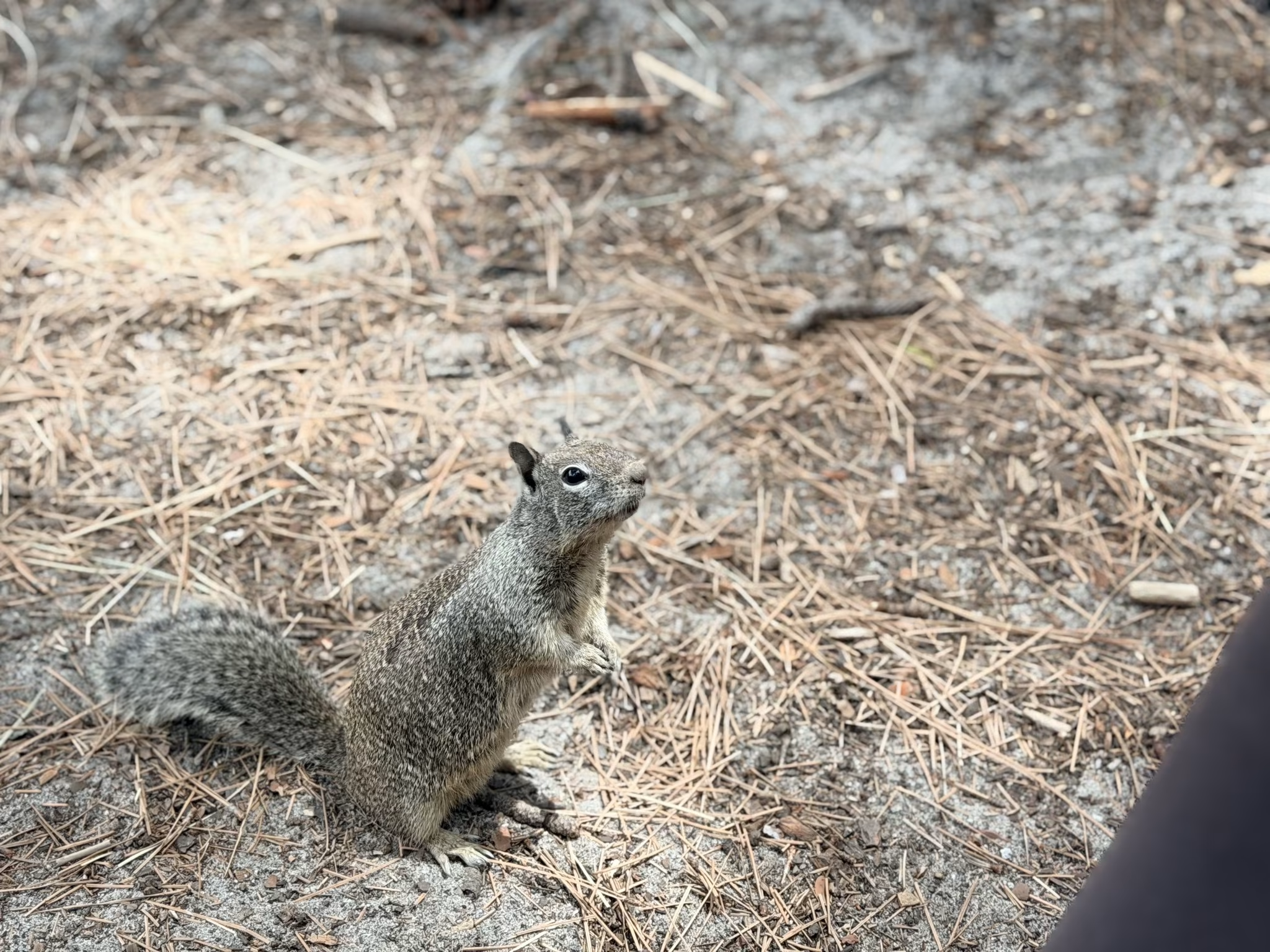
Then a blue-gray bird hopped into view. Then a Mallard.
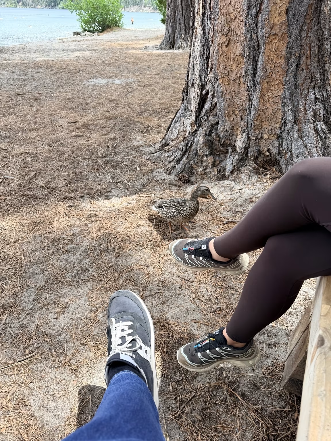
Then a Canada Goose, which joined us with the confidence of someone who had also reserved the bench.
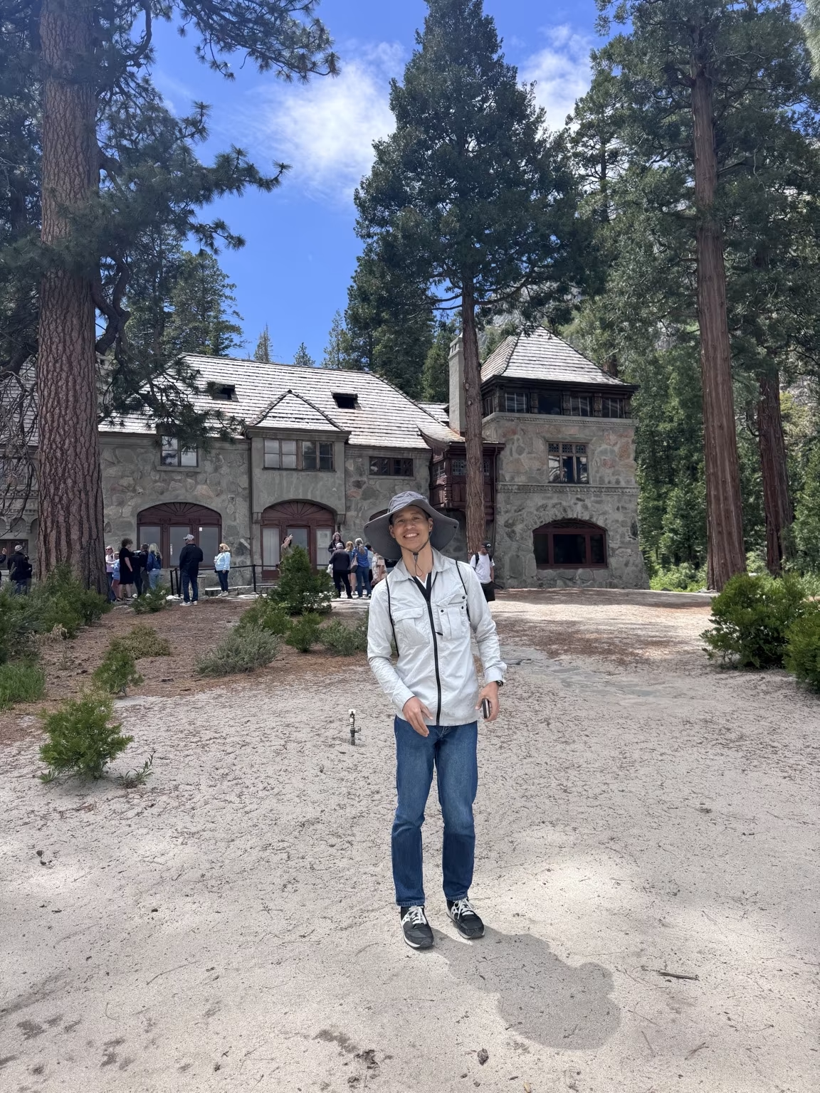
We eventually peeled ourselves away from our wildlife audience and visited the castle exterior. It was smaller than I’d remembered or imagined, though no less distinctive—the steep gables and carved wooden details give it a storybook quality that feels both out of place and perfectly suited to its surroundings. We didn’t have time for a guided tour.
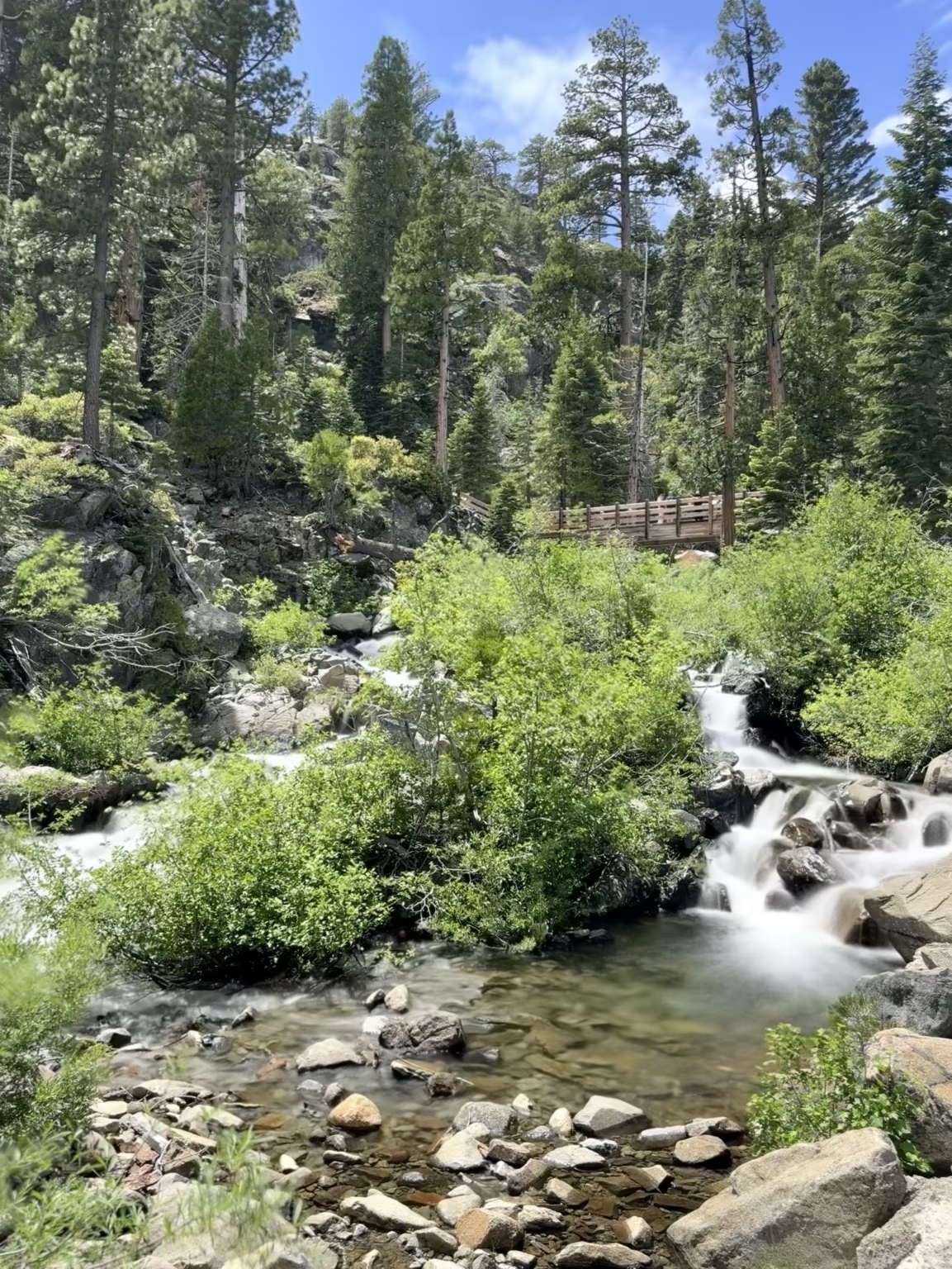
After the castle, we hiked a short distance up to Eagle Falls. A stream tumbles down through the granite, crossing under a wooden bridge before dropping toward Emerald Bay below.
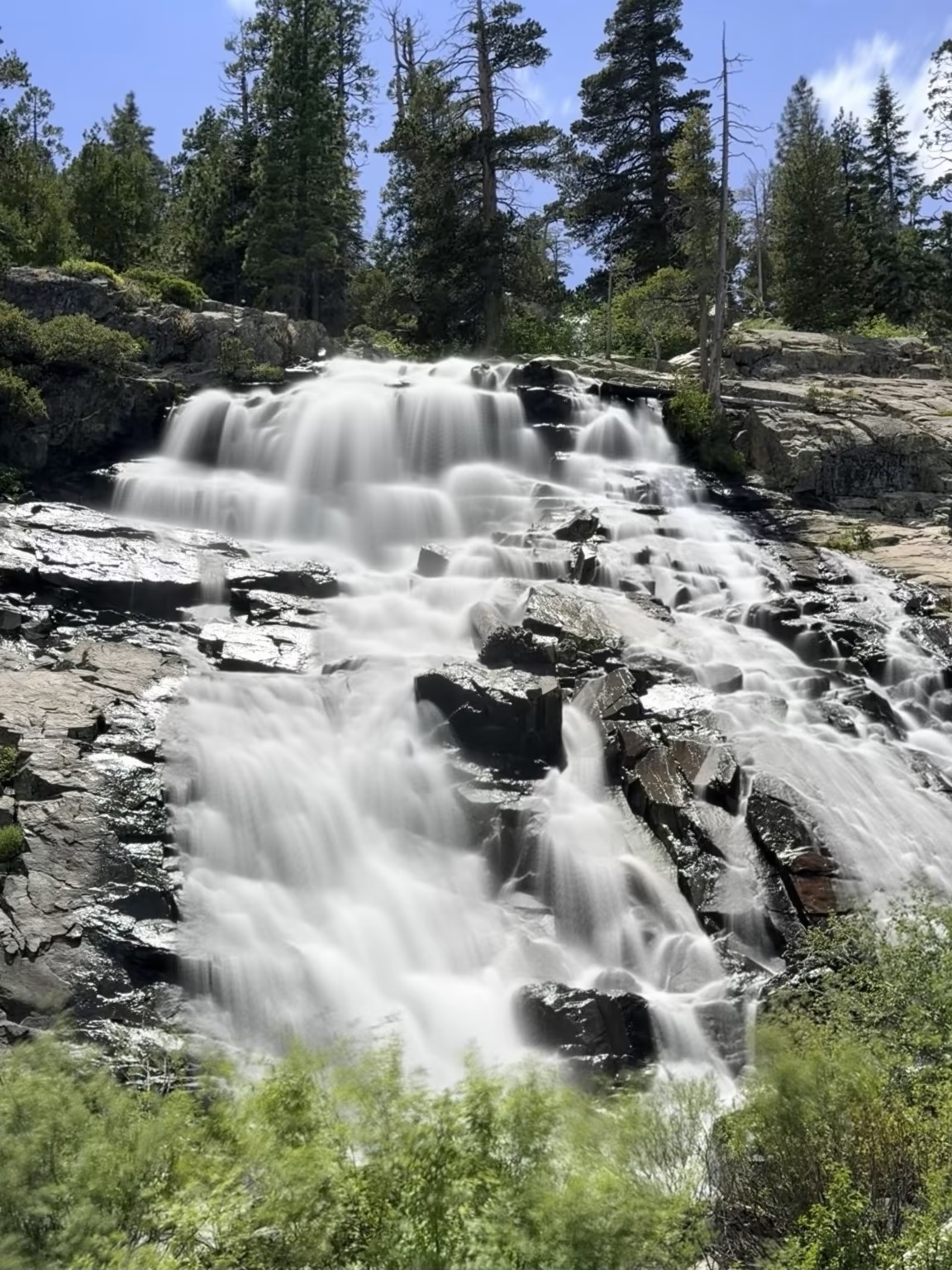
The falls themselves were bracing—a cascade of snowmelt-fed water that made the “extremely cold” lake warning feel understated by comparison. Worth every step of the climb back up.
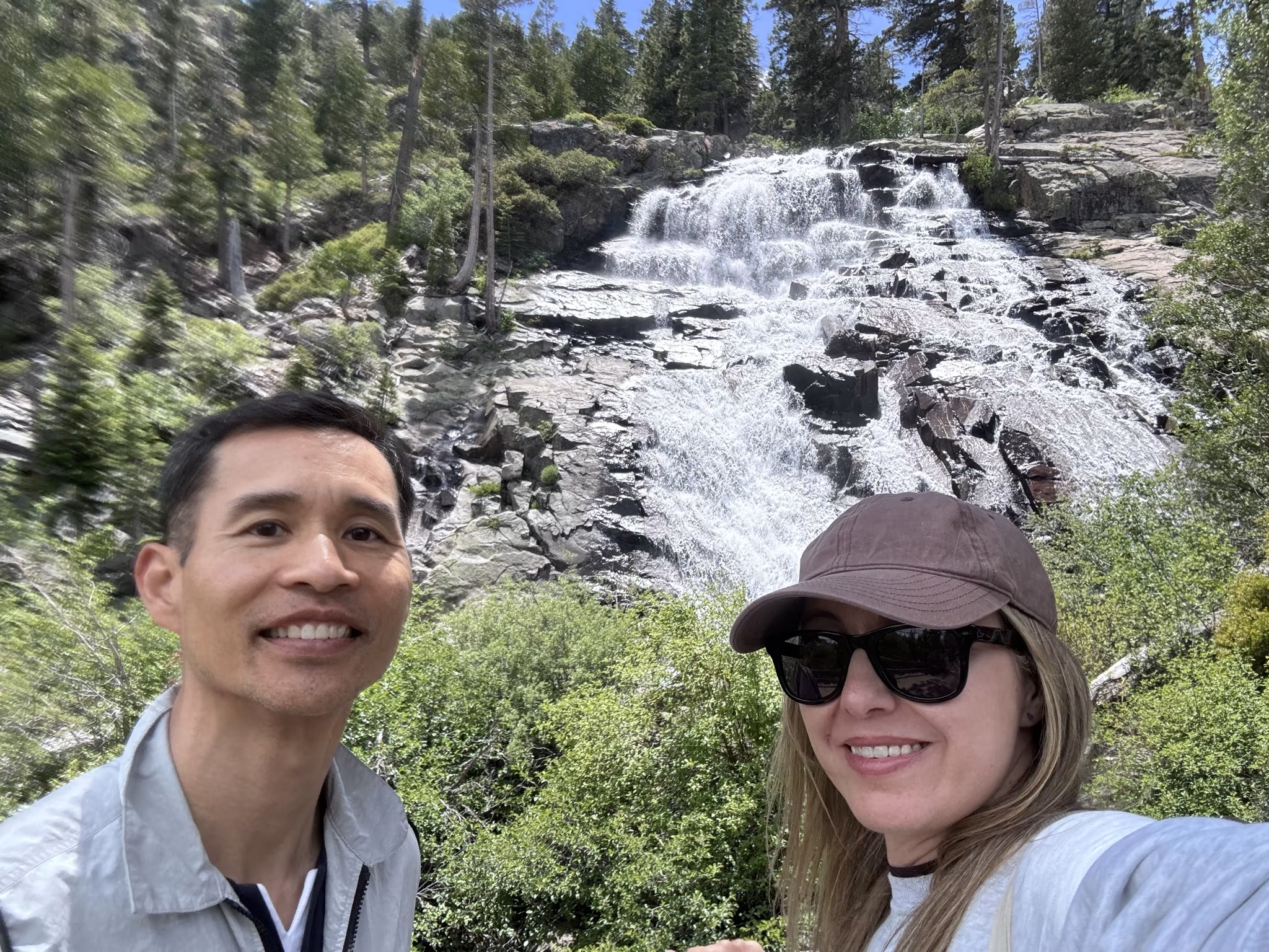
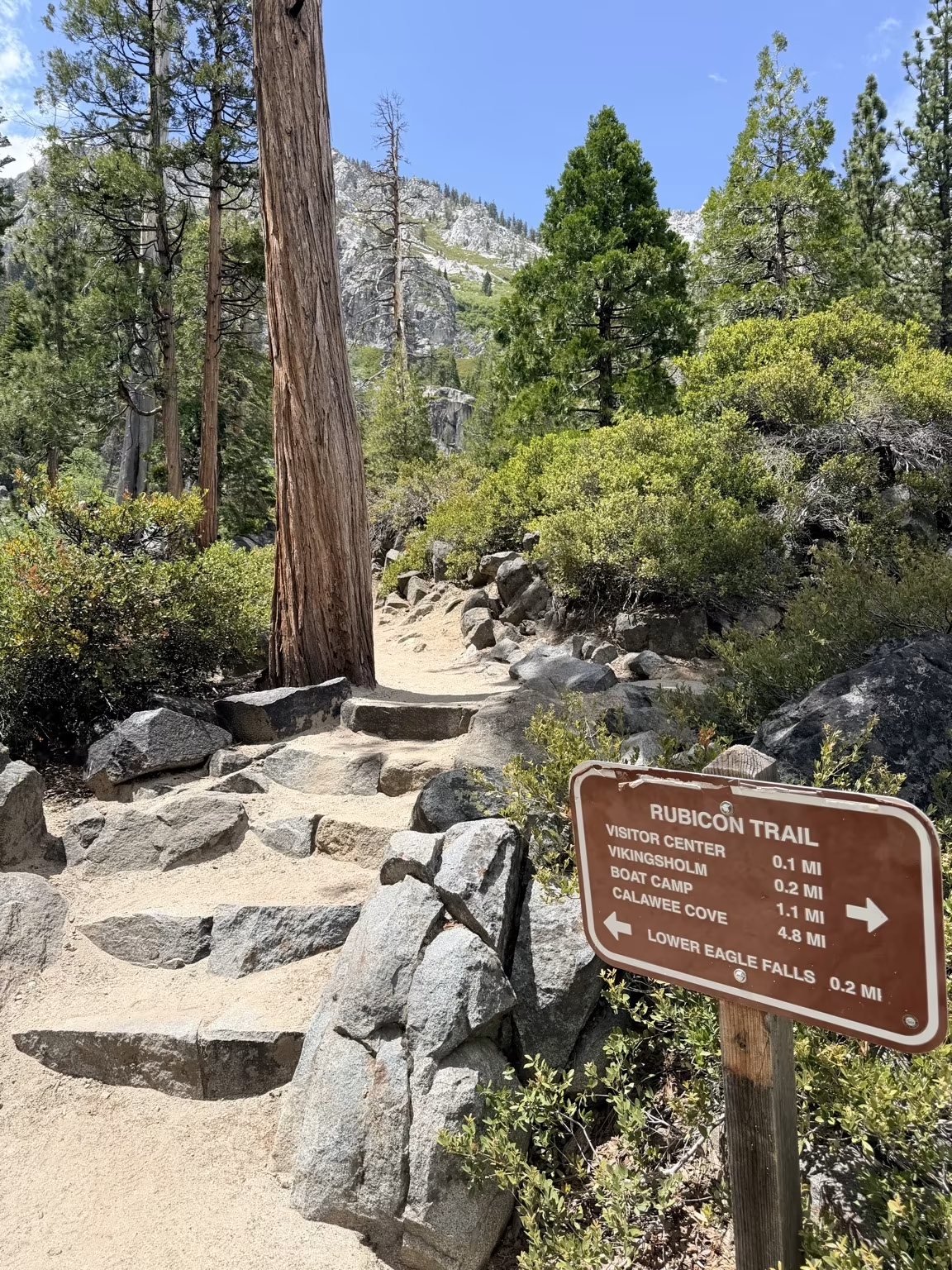
On the way back up the trail to the car, we passed a sign noting that the Rubicon Trail—which runs along the western shore of the lake—is what Jeep’s Wrangler Rubicon edition is named after. That felt like the kind of trivia worth knowing.
The kilometer walk back to the car along Emerald Bay Road was, at least, scenic.
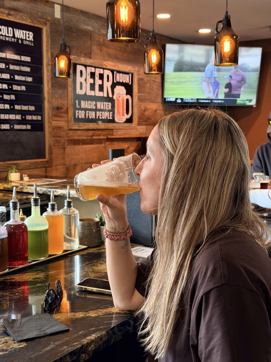
Afterward, we drove into South Lake Tahoe for drinks at Cold Water Brewery. A sign inside proclaimed “Beer—magic water for fun people,” which seems like a philosophy rather than a slogan.
Andrea, for her part, was thoroughly smitten with Lake Tahoe. She announced, with the conviction of someone who had just made a major life decision, that she wanted to quit her job and move there immediately. She could picture it: morning runs or bike rides on the recreation trails, a view of the lake, afternoons exactly like this one. Honestly, it was hard to argue.
Shortly after we got back on the road toward Stockton, a medium-sized bear ambled across the street in front of a house near the highway. It moved too quickly for a photo, which is a shame—though Andrea did capture something a little less menacing.
Hike Data
Distance: 4.4 miles
There are 2 comments.
Next time stop by Placerville. That is where my half of my family grew up after immigrating to the US!
Aw! Both Andrea and I wanted to stop by there on the way back, but ended up not having time to do so. It looked like a pleasant place when we passed by. Cool that half of your family was there.