
Fort Collins–Steamboat Springs: 200 Miles, One Broken Mount, and a Very Late Birthday

Mel is a friend who recently has been talking me into these things. At least her ideas have been good. She knew I still hadn’t logged my annual double century—I’ve ridden at least one every year since 1996—and she and her family happened to be spending a long weekend at their condo in Steamboat Springs. Her pitch was simple: bike over, sleep in the condo, and she’d drive me and the bike home. My birthday is June 26. A 200-mile birthday ride to Steamboat had a nice ring to it.
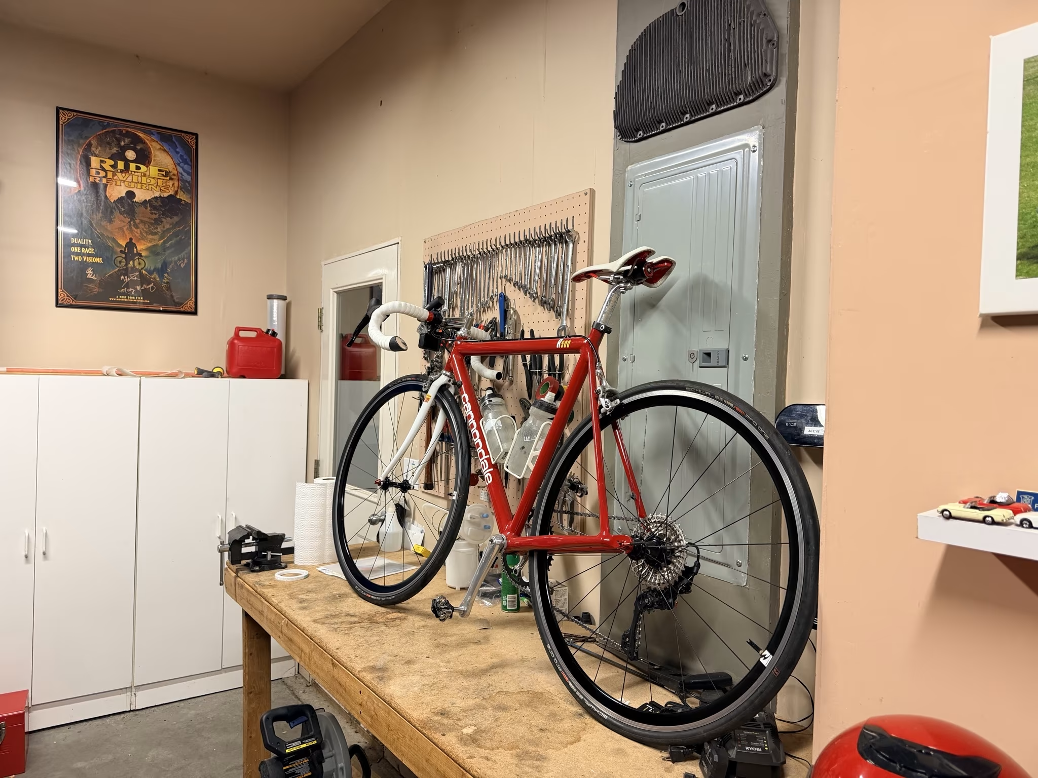
Fort Collins to Steamboat Springs is only 158 miles as the crow flies, which isn’t a double century at all, so I tacked on a 13-mile loop around town before heading up the Poudre Canyon, and figured I’d pick up the remaining 29 miles once I got to Steamboat itself.
I woke at 4:25 a.m., after hitting snooze once, and was rolling by 5:13 a.m.—already 13 minutes behind my own schedule, a theme that would repeat itself throughout the day.
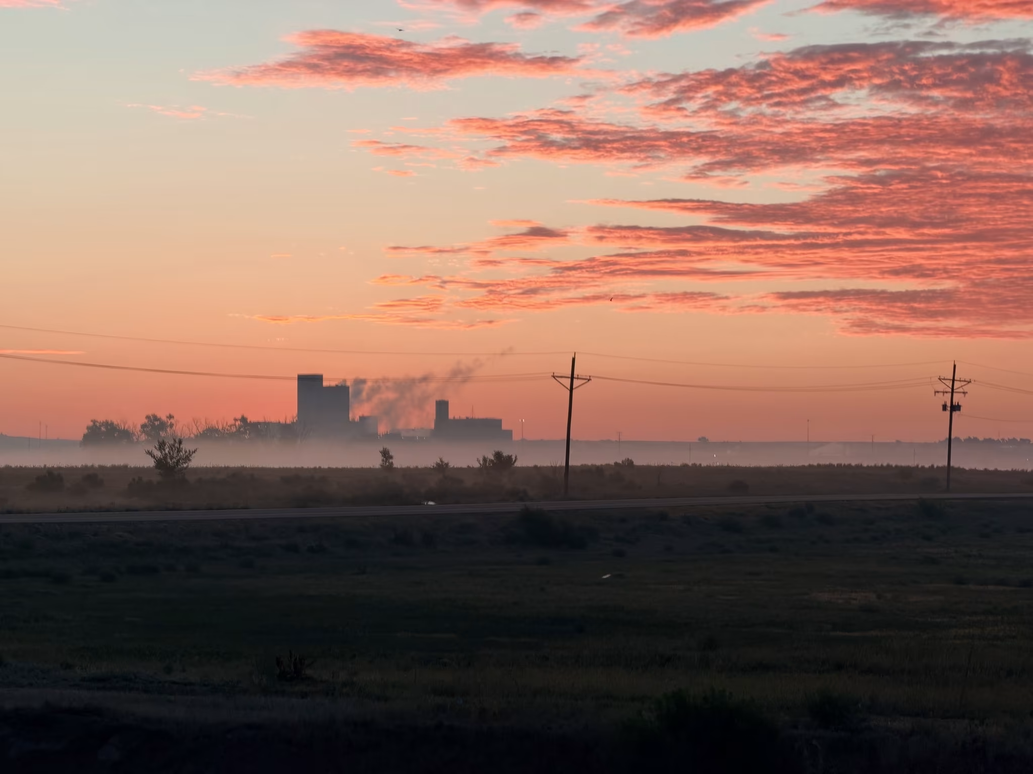
The Poudre Trail and Power Trail were quiet and pleasant in the early light, and I got to watch the sun rise over the Anheuser-Busch plant, which is a more scenic experience than it has any right to be.
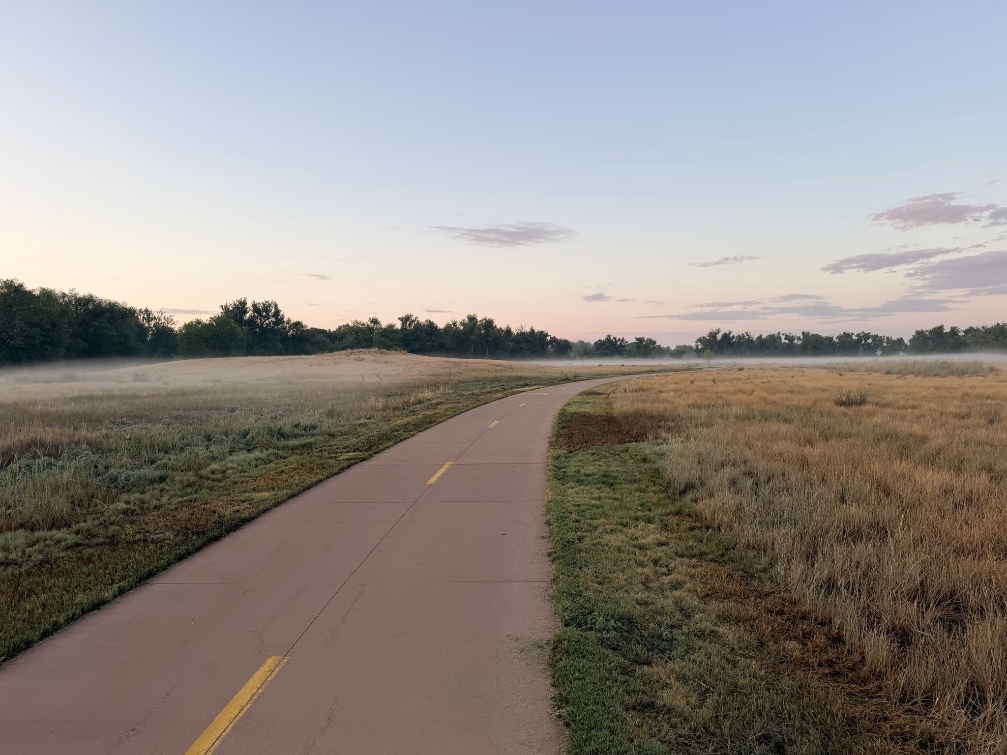
From there it was the Power Trail to Horsetooth Road, over to Overland Trail, and through Laporte and Bellvue to the mouth of the Poudre Canyon. A thin fog was still hanging over the grasslands along the trail.
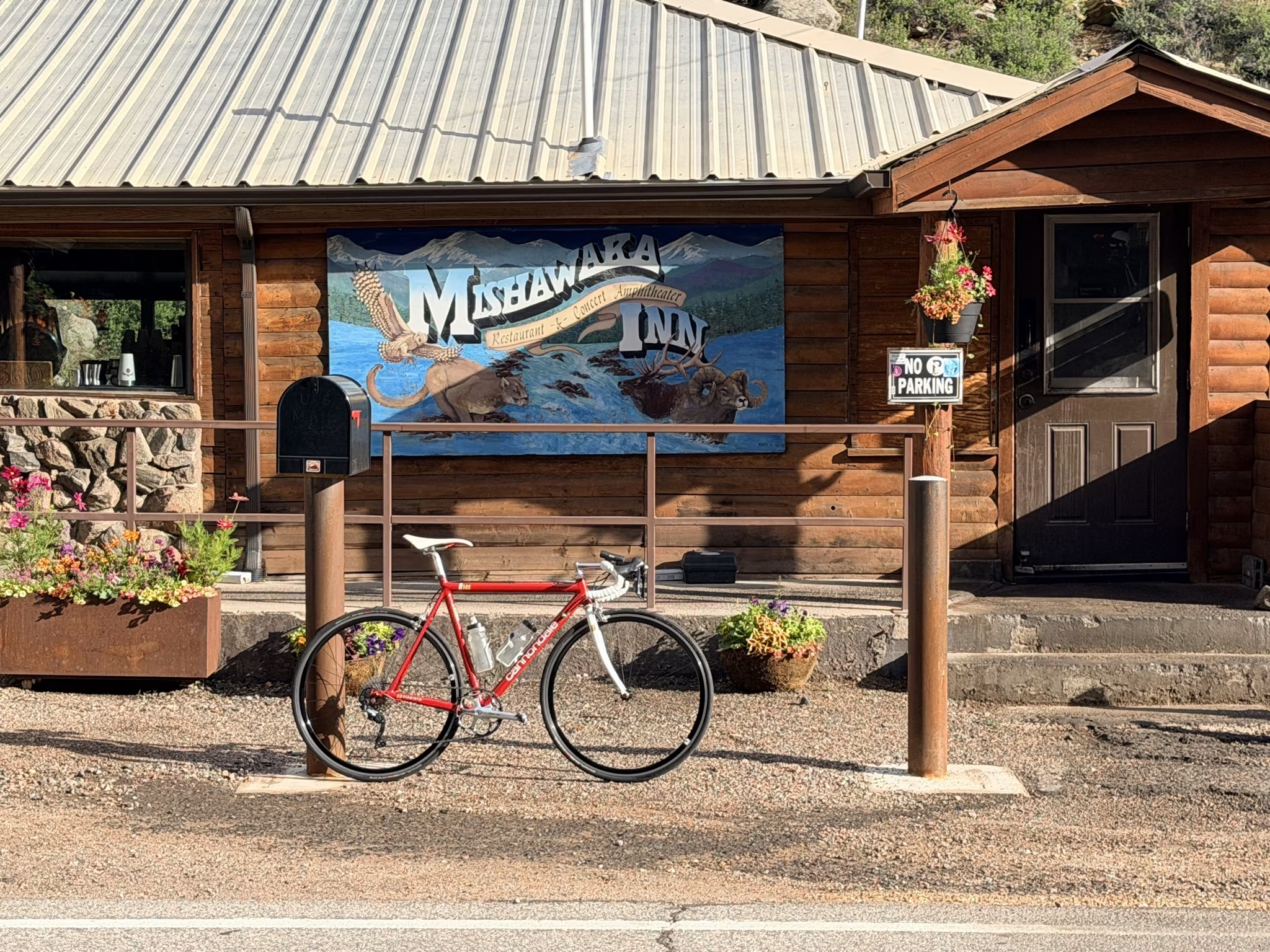
The canyon itself felt busier than I remembered from past rides—more weekend traffic, more campers—though wildlife was scarce apart from one unfortunate snake that had met the pavement before I did.
I had a lot of time to think on that climb, and my mind kept drifting to people that had passed away recently. Bob Kennedy, former president of the 50<4 Marathon Club, once drove down to Fort Collins to organize a scrappy, permit-free race he called the Cache La Poudre Marathon—which I won—in an attempt to break four hours in Colorado in his late 60s. He told me he’d “almost went to jail” for running it without a permit, a story he loved retelling when I last saw him at the Granite State Marathon in 2021. He passed away after a cycling accident two years ago, and today I rode over practically every meter of the course he built.
I also thought about Steve Cathcart, a fixture of the Fort Collins running scene, a standout college runner, longtime owner of Runners Roost, and, I believe, the organizer behind the Colorado Marathon that starts about 13 miles up this same canyon. He passed away a little over a year ago.
And it was exactly one year and one day since I lost my cat Oreo, whose last 72 hours I sat beside. He was a wonderful cat, and I like to imagine him and his sister Tiger running around up above, keeping an eye on me.
Bob or Steve probably would have had some humorous words about a marathon course being ridden this slowly. Oreo, for his part, never had much patience for me being gone this long, and would have voiced his displeasure the moment I walked back in the door.
I stopped in Rustic, at the Glen Echo Resort, roughly halfway up the 60-mile climb from Ted’s Place to the top of Cameron Pass, for a can of Pepsi, a bottle of water, and a bathroom break.
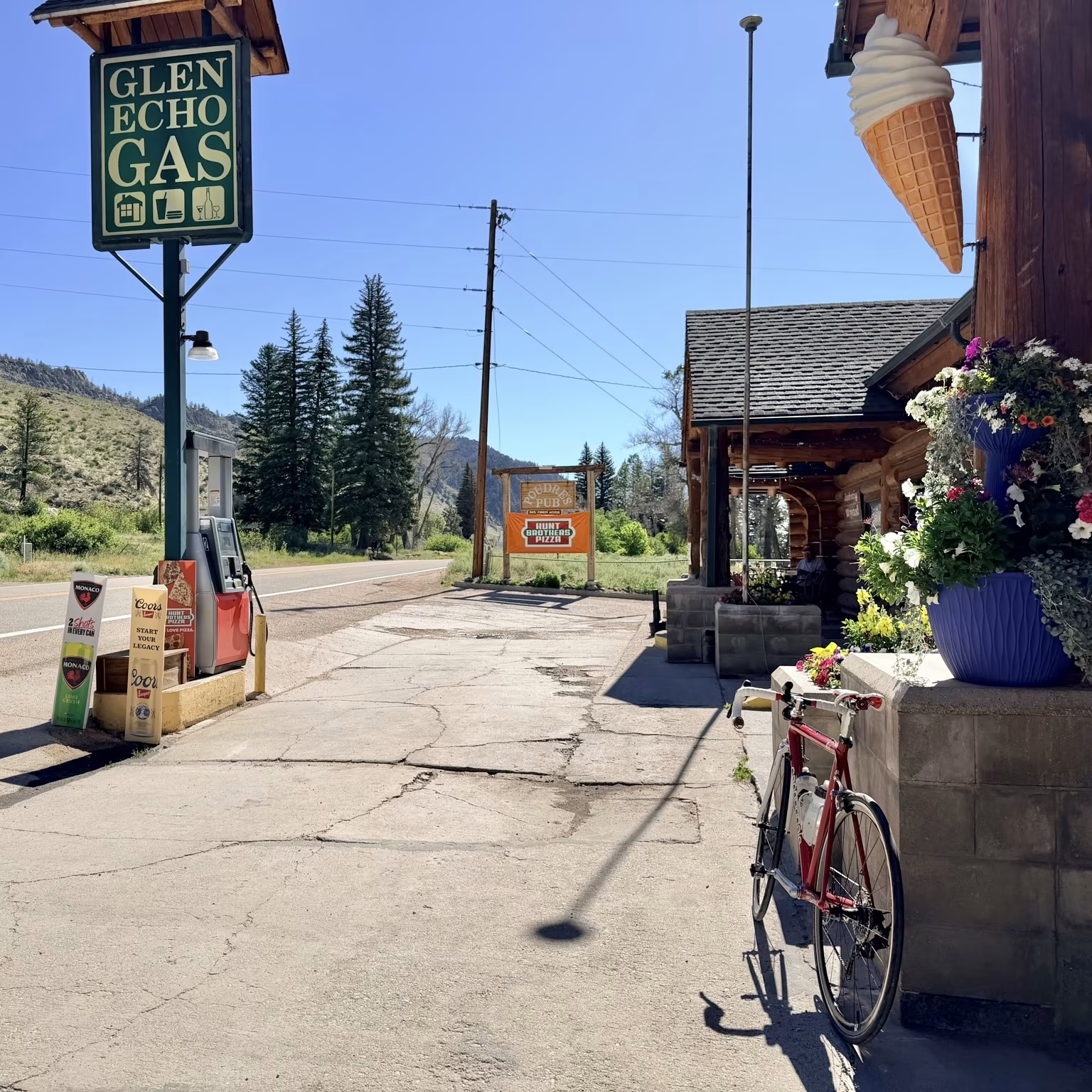
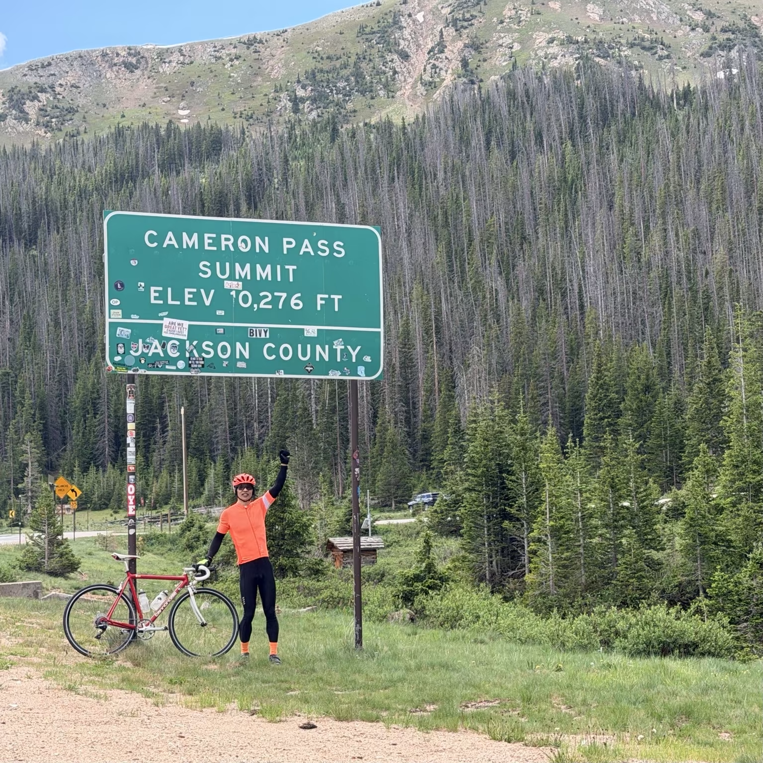
The climb to Cameron Pass wasn’t exactly effortless—my cycling legs are rustier than I’d like this year—but it was nowhere near as grim as my ride to Walden and back on the Litespeed in 2021. From the top, it was a descent toward Gould. I skipped my usual food-and-drink stop there since I’d just refueled in Rustic, which turned out to be a minor gamble when rain started falling not long after. I decided against stopping to dig out my rain jacket, and the sky cooperated by clearing up shortly after.
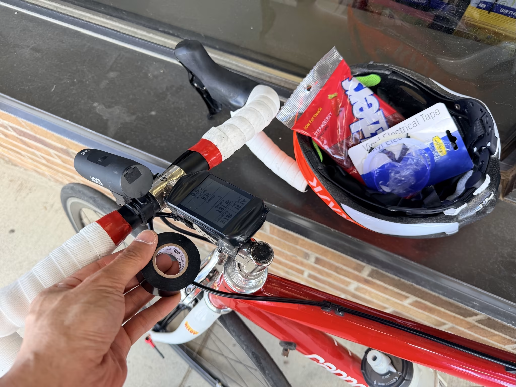
Somewhere in there, a bigger problem announced itself. I’d fabricated my own handlebar mount years ago out of hardware-store zinc-plated steel, and it had started flexing alarmingly under the weight of a GoPro I’d clipped on for the ride. Fearing the bracket would snap outright, I pulled the GoPro off and hoped the lighter Garmin Edge 530 wouldn’t finish the job. As a backup, I improvised a leash out of a USB cable I’d packed for my iPad Pro charger—the one item I’d forgotten to pack was, fittingly, the charger itself. The leash held right up until the bracket gave out for good, at which point the Garmin rode the rest of the way to Walden in my jersey pocket.
About 15 miles outside Walden, Mel’s mother passed me in her red Mazda CX-5, part of a small caravan also heading to Steamboat, though she’d beat me there by half a day. Not long after, the wind turned into a ferocious headwind, and I spent a while just trying to stay low and relaxed against it.
I rolled into Walden a bit behind schedule but not disastrously so.
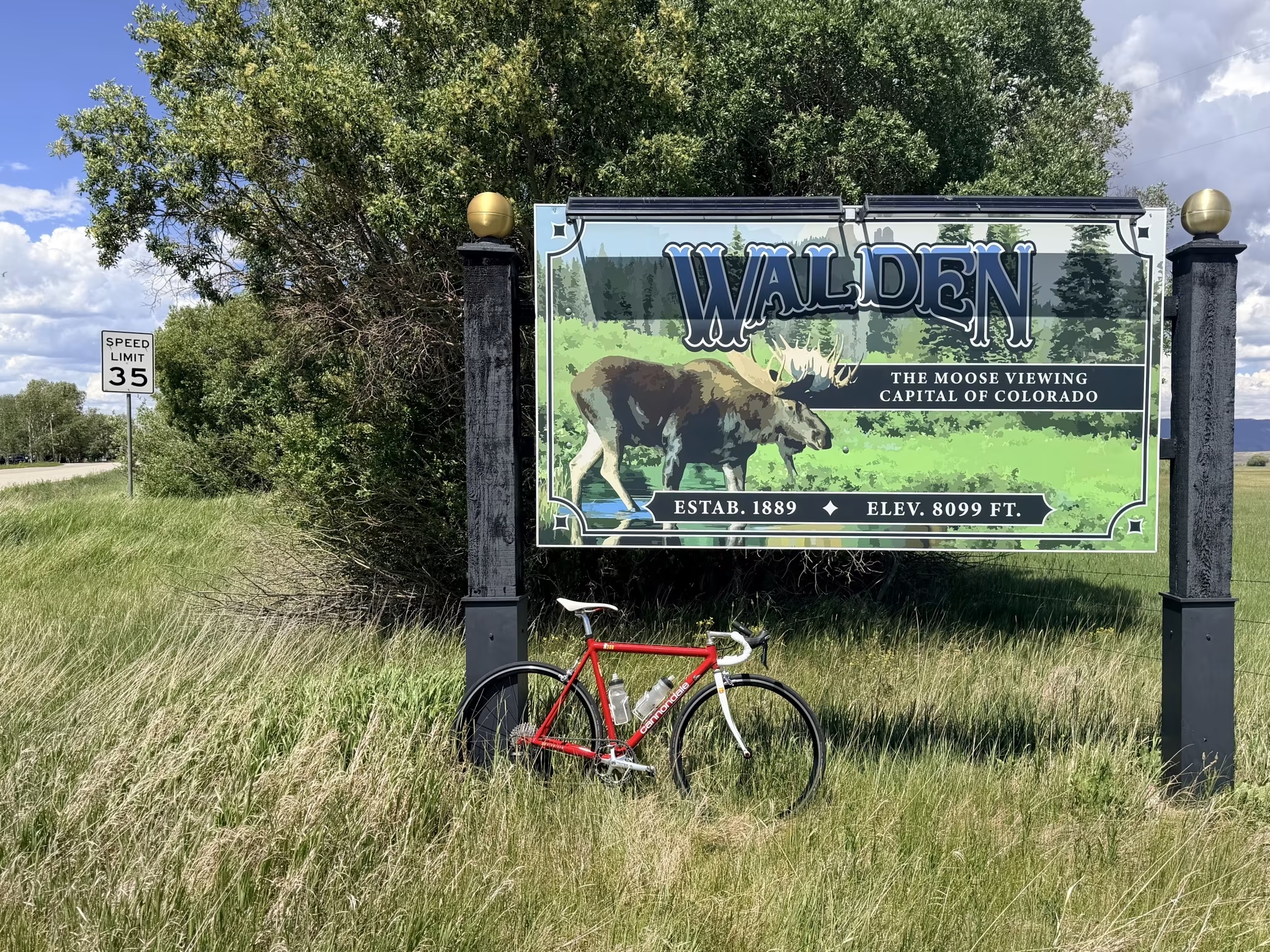
I made my stop there as efficient as I could manage: grabbed a frozen burrito and threw it in the microwave, refilled both water bottles from the soda fountain, found a bottle of Dr Pepper, grabbed some Twizzlers, and picked up a roll of black electrical tape, which I used to tape the Garmin directly onto my stem now that its mount was scrap metal.
In hindsight, I lingered way too long at that gas station. I’d convinced myself the hard part of the day was behind me, and that it would be flat riding the rest of the way to Rabbit Ears Pass, which Mel had assured me was only a four-mile climb. My optimism was premature.
The sun was relentless through this stretch—not hot enough to be dangerous, but enough that I picked up a sunburn in the one gap in my sun protection: a one-centimeter sliver of skin between my gloves and arm sleeves. I’d been diligent about reapplying SPF 50 mineral sunscreen everywhere else roughly every four hours.
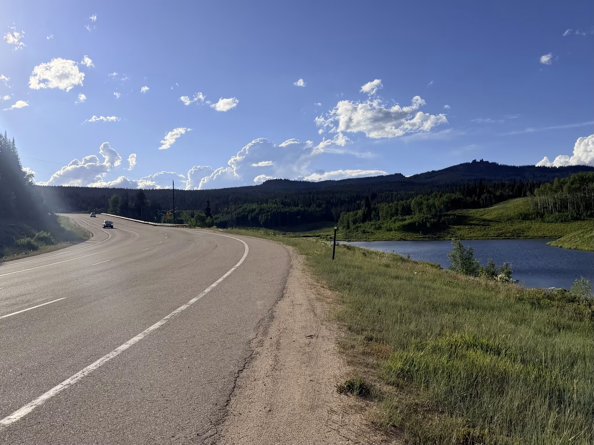
There were rolling climbs before Rabbit Ears—nothing on the scale of Cameron Pass, but enough to make me groan—and even the downhills didn’t offer much relief, since the wind refused to let me coast. It finally died down as I approached the base of the real climb.
Rabbit Ears Pass turned out to be about seven and a half kilometers long with grades never exceeding 7%, which sounds tame on paper. My quads disagreed, and so did my neck, which was aching badly from being locked in an aero position for so many hours—a faint, unwelcome echo of the Shermer’s neck I dealt with during the Trans Am Bike Race. At 6 to 8 miles an hour, even a climb billed as short takes over half an hour, which felt like an eternity by that point in the day. It reminded me of my first time up Old La Honda Road back in college—a legendary Bay Area climb that’s only 3.3 miles long and averages around 7% grade, yet I still had to walk part of it that first time.
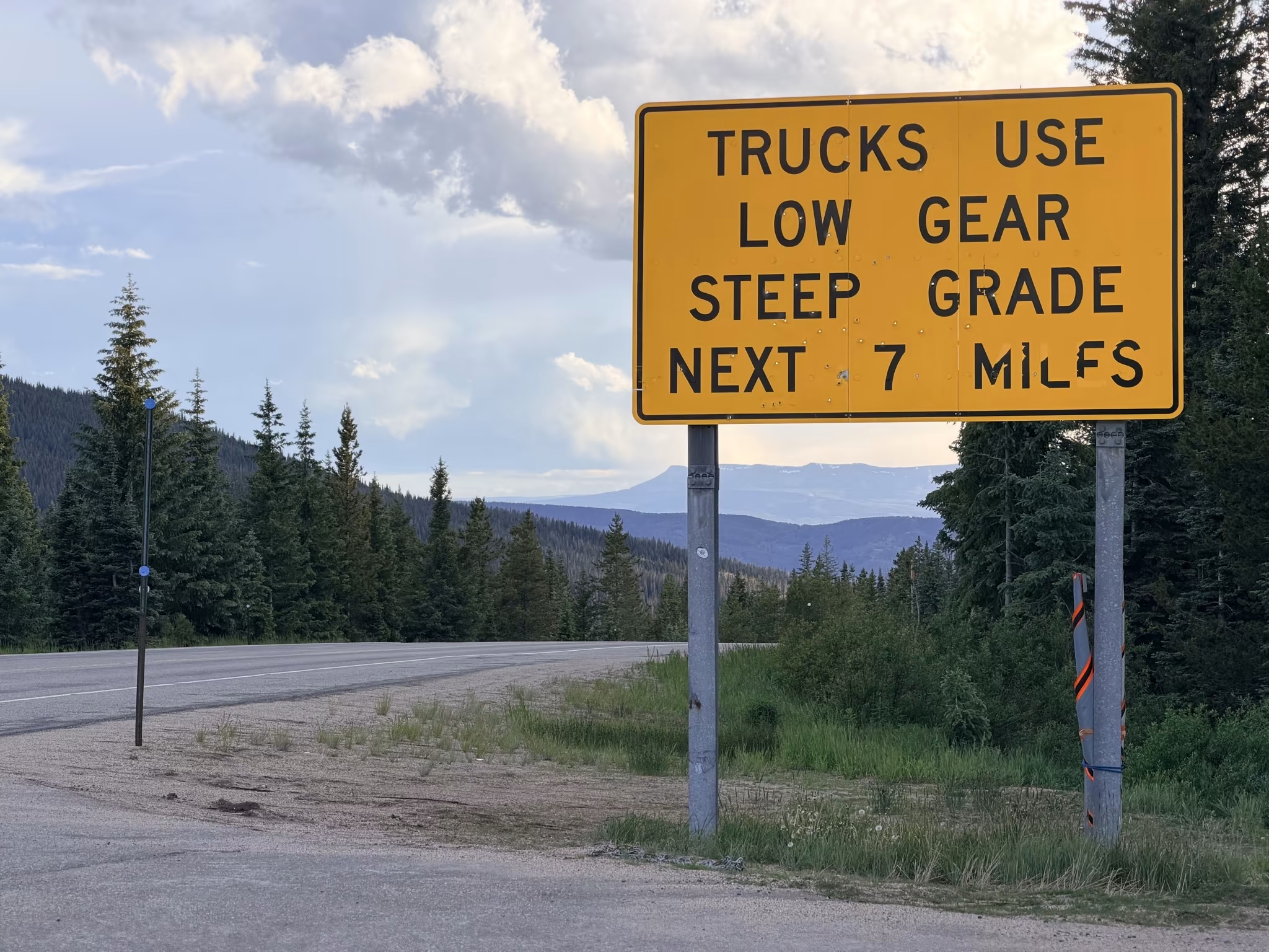
At the summit, I was greeted by a sign warning of a steep grade for the next seven miles, which was the best news I’d gotten all day. Seven miles of not pedaling uphill sounded like a vacation.
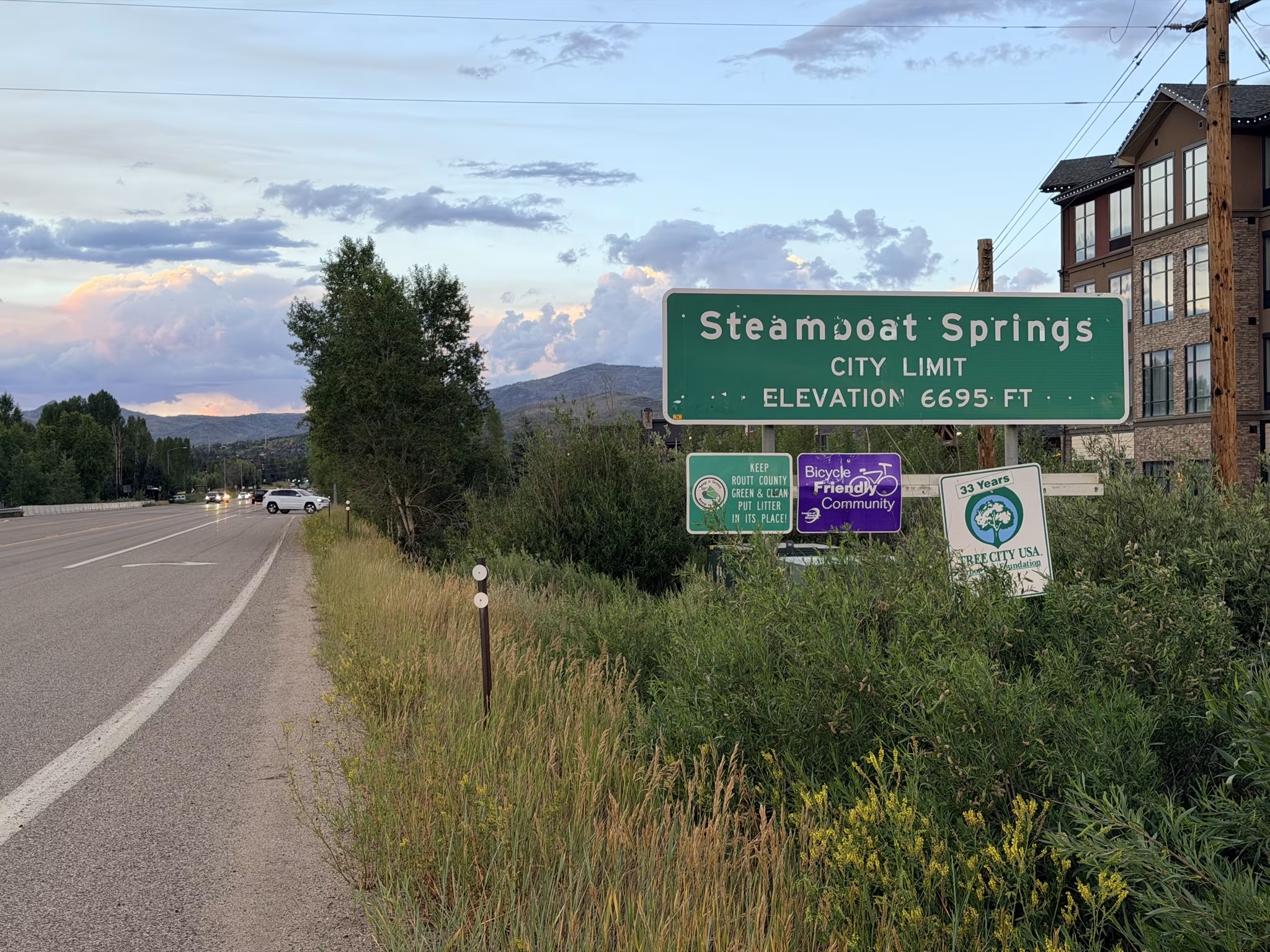
I rolled into Steamboat Springs a little before 8:30 p.m., with some daylight still left, though well behind the 9:00 p.m. finish I’d promised Mel earlier in the week. The catch was that I still had 29 miles to go before I could call it a full double century. Normally I’d knock that out in about two hours. At a gas station, I refueled with a fountain cherry Coke, topped off my water, and made a bathroom stop—and discovered my rear taillight had died. I’d left it in the wrong blinking mode the week before, which cut its runtime down to about 12 hours instead of the several days I’d expected, and I hadn’t packed a spare.
With cars now a real risk in the growing dark, I decided to stick to the bike trails instead of the road. That decision came with its own costs. The trail was full of blind curves, dividers, and unlit sections, and it was busier than I expected for a Friday night—between a local rodeo and SBT GRVL, one of the most prestigious gravel races in the country, being held that same weekend, Steamboat was packed. I ended up looping the trail three times to make up my mileage, most of it at a crawl of about 8 miles an hour.
My front headlight failed partway through, forcing me to rely on my Garmin watch’s flashlight and, later, my phone’s flashlight tucked under my jacket as an improvised taillight. I tried recharging the headlight off my phone’s USB-C cable while using the watch flashlight, but the latter’s battery was down to the teens by then, meaning its light only lasted 15 minutes before the whole watch shut off. And the 15-minute charge of the bike headlight only would buy it about that amount of time of use—and I couldn’t turn on the light while charging it. Ultimately, I settled into a rhythm of keeping the headlight off except for a few seconds whenever someone approached.
Three laps later, it was already midnight. I pedaled the final stretch to Mel’s condo using my phone’s flashlight as a taillight and whatever charge the Garmin headlight had left for the road. I tried to be quiet rolling in, since I’d warned Mel I’d be arriving very late and told her to go ahead and sleep. She heard my freewheel clicking anyway and opened the door before I could even knock.
“Oh, it’s after midnight,” she said. “Can’t celebrate your birthday anymore.”
That was fine by me. I wanted food, a shower, and a bed, in roughly that order, and Mel had sandwiches waiting. I slept extremely well that night—a 200-mile ride in the books for the year, and about as good a birthday present as I could have asked for.
Ride Data
Distance: 201.3 miles
Elapsed time: 5:13 a.m. to about 12:15 a.m. (~19 hours, including all stops)
What I Ate
Before the ride: coffee, a banana, and a breadless breakfast sandwich of eggs, sausage, and cheese.
During the ride: seven protein granola bars, a can of Pepsi, a bottle of Dr Pepper, half a pack of Twizzlers, and a fountain cherry Coke.
In hindsight, that was well short of what a 200-mile mountain ride demands. A rough estimate puts my intake around 3,000 calories total, when an effort like this—spread across roughly 12 hours of actual riding—really calls for something closer to 5,500 to 7,500 calories, most of it carbohydrate, spaced out steadily hour by hour. Something to fix before my next one.
Afterwards
The next morning after, Mel and I went for a 10-mile hike on the Spring Creek Trail in Steamboat Springs. That may sound like a lot—indeed, when we had finished, I was really surprised we had gone that far since time seemed to fly by—but we were going at a relaxed pace, and it was a very nice morning.
The in the afternoon we went to the finish of the SBT GRVL races. Moments after arriving at the finishing area, we heard the announcer declare that our friend Lisa from Fort Collins had just finished. It was a happy coincidence—in fact, just the week before while I was running in the Fort, Lisa was out cycling the same gravel road. On that day, she had seen me and called out my name. This time, I did the same to her.
On Sunday morning, while Mel and her mom and aunt went golfing, I went for an easy recovery run on the same bike trail that I had gone back and forth on during the double century. Almost immediately, I encountered this fellow:
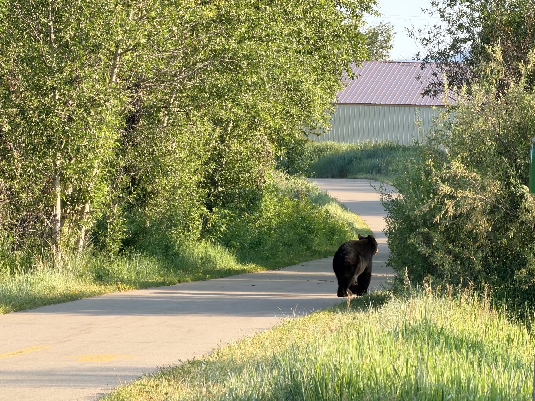
That prompted me to stop, back up slowly, and then turn around. But not until after I took some 8X zoom photos!
On Monday morning, Mel and I hiked up the (sometimes steep) Thunderhead Trail to the top of Mount Werner and the Steamboat Ski Resort. Then she drove us back to Fort Collins.
In conclusion, it was a very active weekend.